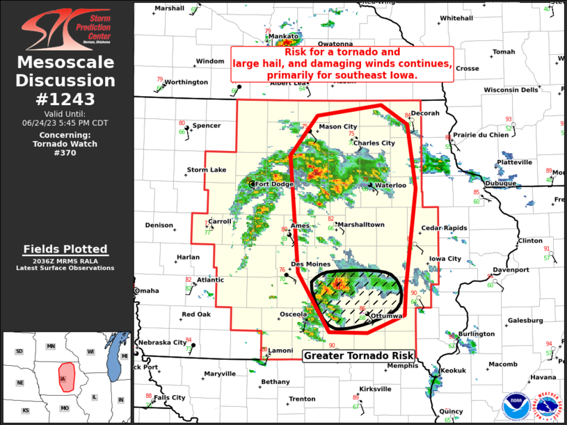
MD 1243 CONCERNING SEVERE THUNDERSTORM WATCH 405… FOR PORTIONS OF CENTRAL AND EASTERN MINNESOTA
Mesoscale Discussion 1243
NWS Storm Prediction Center Norman OK
0631 PM CDT Wed Jun 12 2024
Areas affected…Portions of central and eastern Minnesota
Concerning…Severe Thunderstorm Watch 405…
Valid 122331Z – 130030Z
The severe weather threat for Severe Thunderstorm Watch 405
continues.
SUMMARY…A localized tornado threat is evolving over portions of
central/eastern Minnesota. The area is being considered for a small
tornado watch.
DISCUSSION…Following several splitting supercells along a surface
trough/wind shift over central/eastern MN, latest radar data shows
dominant right-moving thunderstorms taking shape. This evolution is
being aided by an increasingly large, clockwise-turning low-level
hodograph (around 300 m2/s2 0-1 km SRH per MPX VWP). Given this
hodograph and favorable low-level moisture in place downstream of
the intensifying storms, a localized tornado risk is possible for
the next couple hours. The area is being considered for a small
tornado watch.
..Weinman/Smith.. 06/12/2024
…Please see www.spc.noaa.gov for graphic product…
ATTN…WFO…DLH…MPX…
LAT…LON 46649407 47079295 47049249 46719207 46149253 45439387
45389472 45499529 45859514 46649407
