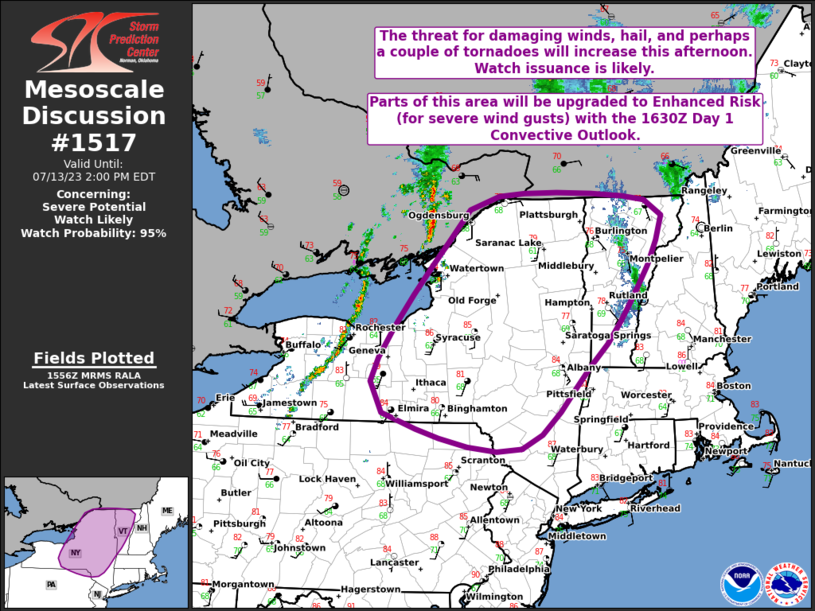
MD 1517 CONCERNING SEVERE THUNDERSTORM WATCH 498… FOR NORTHEAST KANSAS…NORTHERN MISSOURI
Mesoscale Discussion 1517
NWS Storm Prediction Center Norman OK
0702 PM CDT Tue Jul 02 2024
Areas affected…Northeast Kansas…Northern Missouri
Concerning…Severe Thunderstorm Watch 498…
Valid 030002Z – 030130Z
The severe weather threat for Severe Thunderstorm Watch 498
continues.
SUMMARY…Convective threat will increase across northeast Kansas
and northern Missouri this evening.
DISCUSSION…Southern influence of central Plains short-wave trough
is beginning to affect the lower MO Valley region. Height falls will
glance northeast KS/northern MO this evening and this should
encourage a gradual expansion of convection along/ahead of surface
front. Additionally, LLJ is forecast to strengthen into northern MO
in response to the approaching short wave. This is expected to aid a
potential MCS that will sag southeast across a reservoir of strong
buoyancy (3000 J/kg MLCAPE). Primary risk remains damaging winds.
..Darrow.. 07/03/2024
…Please see www.spc.noaa.gov for graphic product…
ATTN…WFO…LSX…EAX…TOP…
LAT…LON 38509576 39829378 40179163 39689145 39149393 38139533
38509576
