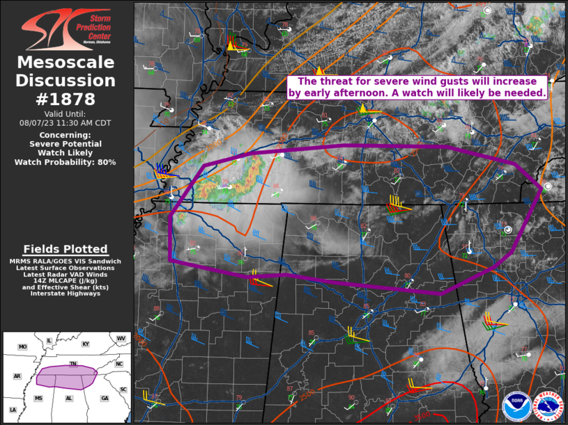
MD 1878 CONCERNING SEVERE POTENTIAL…WATCH UNLIKELY FOR PORTIONS OF NORTHERN/CENTRAL UTAH
Mesoscale Discussion 1878
NWS Storm Prediction Center Norman OK
0542 PM CDT Sat Aug 10 2024
Areas affected…Portions of northern/central Utah
Concerning…Severe potential…Watch unlikely
Valid 102242Z – 110015Z
Probability of Watch Issuance…5 percent
SUMMARY…Isolated strong to severe winds (max intensity of 50-60
mph) may occur as a line of convection moves towards I-15.
DISCUSSION…A loosely organized line of convection has developed in
west-central Utah this afternoon. Aided by enhanced mid-level winds
on the southern flank of a mid-level trough, this activity is moving
east towards parts of the I-15 corridor. Steep low-level lapse rates
will promote some risk of strong to severe winds (likely peaking in
the 50-60 mph range). There is a marginal increase in MLCIN right
along the edge of the terrain. These wind gusts will likely remain
isolated through the remainder of the afternoon.
..Wendt/Thompson.. 08/10/2024
…Please see www.spc.noaa.gov for graphic product…
ATTN…WFO…SLC…
LAT…LON 39571313 40211276 40701250 40721212 40451159 39891167
39521202 39261250 39271271 39571313
