
WW 30 SEVERE TSTM KS MO 141915Z – 150000Z
URGENT - IMMEDIATE BROADCAST REQUESTED
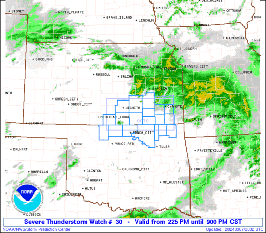
Severe Thunderstorm Watch Number 30
NWS Storm Prediction Center Norman OK
215 PM CDT Fri Mar 14 2025
The NWS Storm Prediction Center has issued a
* Severe Thunderstorm Watch for portions of
Eastern Kansas
Western Missouri
* Effective this Friday afternoon and evening from 215 PM until
700 PM CDT.
* Primary threats include...
Widespread damaging winds and isolated significant gusts to 80
mph likely
Scattered large hail and isolated very large hail events to 2
inches in diameter possible
A tornado or two possible
SUMMARY...Thunderstorms will rapidly develop and move
north-northeastward across eastern Kansas into western Missouri this
afternoon. Widespread severe/damaging winds appear likely with this
initial activity, along with some hail if supercells can become
established. The tornado threat should remain fairly low for the
next couple of hours, but a tornado or two may occur later with
eastward extent towards central Missouri.
The severe thunderstorm watch area is approximately along and 55
statute miles east and west of a line from 15 miles north northwest
of Saint Joseph MO to 25 miles south southwest of Monett MO. For a
complete depiction of the watch see the associated watch outline
update (WOUS64 KWNS WOU0).
PRECAUTIONARY/PREPAREDNESS ACTIONS...
REMEMBER...A Severe Thunderstorm Watch means conditions are
favorable for severe thunderstorms in and close to the watch area.
Persons in these areas should be on the lookout for threatening
weather conditions and listen for later statements and possible
warnings. Severe thunderstorms can and occasionally do produce
tornadoes.
&&
AVIATION...A few severe thunderstorms with hail surface and aloft to
2 inches. Extreme turbulence and surface wind gusts to 70 knots. A
few cumulonimbi with maximum tops to 500. Mean storm motion vector
22055.
...Gleason