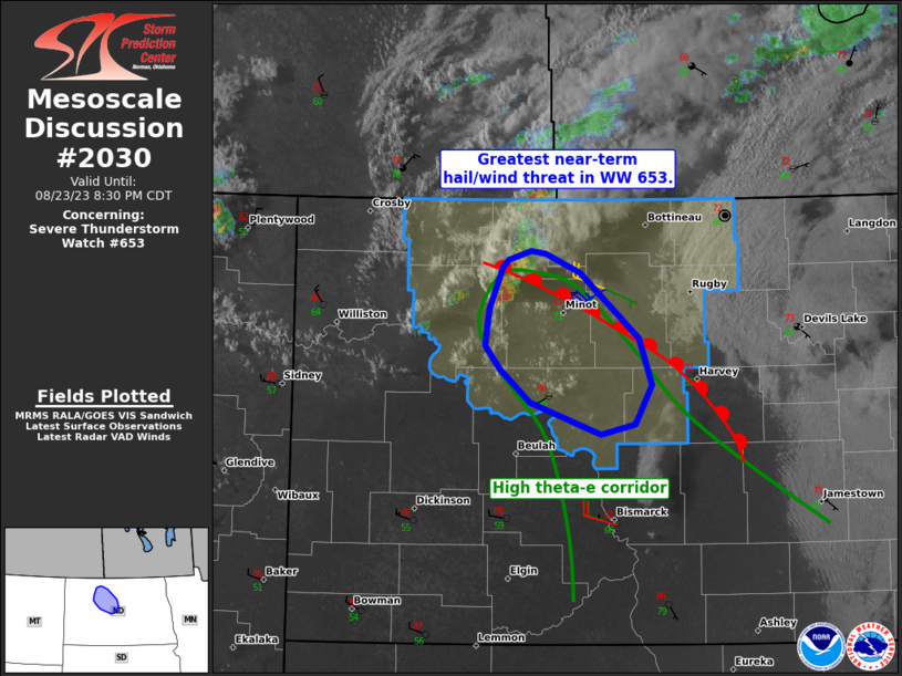
MD 2030 CONCERNING SEVERE POTENTIAL…WATCH UNLIKELY FOR WESTERN INTO CENTRAL NEW YORK STATE…ADJACENT NORTHWESTERN INTO NORTH CENTRAL PENNSYLVANIA

Mesoscale Discussion 2030
NWS Storm Prediction Center Norman OK
0944 AM CDT Thu Sep 04 2025
Areas affected...western into central New York State...adjacent
northwestern into north central Pennsylvania
Concerning...Severe potential...Watch unlikely
Valid 041444Z - 041645Z
Probability of Watch Issuance...20 percent
SUMMARY...One or two developing bands of showers and thunderstorms
may pose increasing potential for sporadic wind damage through early
afternoon.  This currently seems unlikely to require a severe
weather watch, but trends will be monitored.
DISCUSSION...Boundary layer warming associated with insolation is
beginning to contribute to destabilization in a pre-frontal
corridor, where the latest Rapid Refresh suggests that mid-level
forcing for ascent, associated with a short wave perturbation
pivoting through the lower Great Lakes region, may contribute to
deepening convective development through 16-18Z.  Based on forecast
soundings, although mid/upper lapse rates are likely to remain weak,
sufficient boundary warming may occur for destabilization through
favorably cold levels of the mixed-phase layer to support charge
separation and increasing potential for scattered thunderstorm
development.
It is possible that this activity could gradually consolidate into
an increasingly prominent line, which will tend to propagate ahead
of the eastward advancing cold front.  Although this may maintain a
significant component parallel to the 30-40 kt south-southwesterly
cloud-bearing layer mean flow, the deepening preceding well-mixed
boundary-layer may gradually become increasingly conducive to
downward momentum transfer to the surface.  Peak gusts probably will
tend to remain mostly below severe limits, but sporadic wind damage,
particularly to trees, is possible.
..Kerr/Gleason.. 09/04/2025
...Please see www.spc.noaa.gov for graphic product...
ATTN...WFO...BTV...BGM...BUF...CTP...PBZ...
LAT...LON   44287528 42367618 41017871 41467913 43617840 44287528
MOST PROBABLE PEAK WIND GUST...55-70 MPH
