
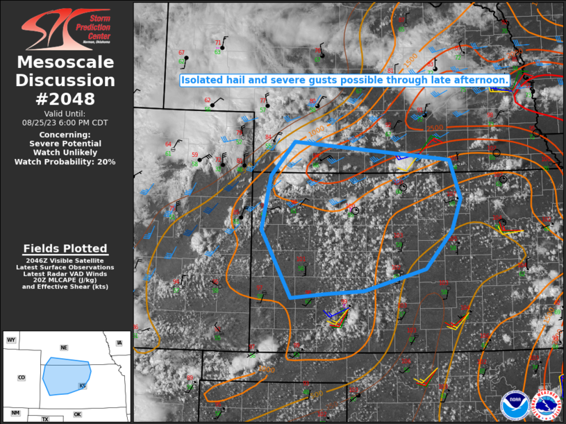
MD 2048 CONCERNING SEVERE POTENTIAL…WATCH UNLIKELY FOR PORTIONS OF NORTH AND CENTRAL FLORIDA
Mesoscale Discussion 2048
NWS Storm Prediction Center Norman OK
0459 PM CDT Sun Sep 07 2025
Areas affected...Portions of North and Central Florida
Concerning...Severe potential...Watch unlikely
Valid 072159Z - 072300Z
Probability of Watch Issuance...5 percent
SUMMARY...Isolated strong storms along the Atlantic sea breeze
boundary may produce wind damage.
DISCUSSION...Scattered thunderstorms have developed along an outflow
boundary and the Atlantic sea breeze boundary. On the southern
fringe of a broad upper trough across the East, effective shear has
been marginally enhanced. The strongest shear will be generally
north of the outflow boundary, but augmentation along the sea breeze
boundary may allow for a few stronger storms to form within that
zone. The strongest activity will tend to propagate southward over
the next couple of hours. Shear is strong enough for brief, marginal
supercell structures (some weak rotation was noted on KMLB/KJAX
velocity imagery). Isolated wind damage is possible late this
afternoon.
..Wendt/Mosier.. 09/07/2025
...Please see www.spc.noaa.gov for graphic product...
ATTN...WFO...MLB...TBW...JAX...
LAT...LON   29298244 29648244 29828181 29348106 28988082 28738104
            28798173 29298244
MOST PROBABLE PEAK WIND GUST...UP TO 60 MPH