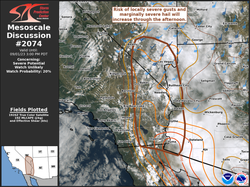
MD 2074 CONCERNING SEVERE POTENTIAL…WATCH POSSIBLE FOR PORTIONS OF NORTHERN KANSAS AND SOUTHERN…CENTRAL…AND EASTERN NEBRASKA

Mesoscale Discussion 2074
NWS Storm Prediction Center Norman OK
0200 PM CDT Sun Sep 14 2025
Areas affected...portions of northern Kansas and
southern...central...and eastern Nebraska
Concerning...Severe potential...Watch possible
Valid 141900Z - 142100Z
Probability of Watch Issuance...40 percent
SUMMARY...Thunderstorms will continue to develop/intensify this
afternoon. The strongest storms will pose a risk for hail, some
which may be large. A watch may be necessary later this afternoon.
DISCUSSION...The airmass continues to recover in the wake of earlier
convection with temperatures warming into the 70Fs in the presence
of surface dewpoints in the low-to-mid 60Fs. With midlevel lapse
rates on the order of 8 C/km atop this low-level airmass, most
unstable CAPE should increase up to 2500 J/kg by late afternoon.
Thunderstorms will develop/intensify this afternoon as a combination
of mixing out from below and large scale ascent associated with the
left exit region of an upper-level jet to the north-northwest of the
area work together to overcome/weaken the 850-700 millibar warm
layer noted in forecast soundings.
Long hodographs and steep midlevel lapse rates will favor hail with
any sustained, intense thunderstorm. Despite the long hodographs,
effective-layer shear will be marginal for supporting mid-level
rotation that could act to augment updraft intensity and the
resulting hail potential. The better effective-layer shear will be
across the middle-to-eastern portions of the MD area, and portions
of this area will be monitored for the potential of severe hail
occurring. If it becomes apparent that thunderstorms are/will be
able to tap into this environment, and that the coverage will be
more than one or two storms, a severe thunderstorm watch may become
necessary.
..Marsh/Guyer.. 09/14/2025
...Please see www.spc.noaa.gov for graphic product...
ATTN...WFO...OAX...TOP...ICT...GID...LBF...DDC...GLD...
LAT...LON   39110172 40480175 41900071 42039926 42269644 41269586
            40199631 39449729 38749962 38750083 39110172
MOST PROBABLE PEAK TORNADO INTENSITY...UP TO 95 MPH
MOST PROBABLE PEAK WIND GUST...UP TO 60 MPH
MOST PROBABLE PEAK HAIL SIZE...1.50-2.50 IN
