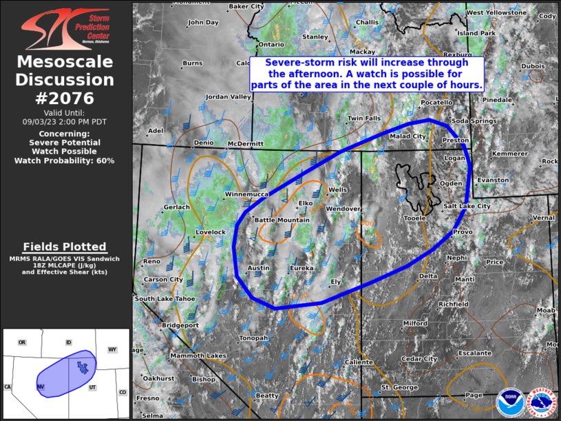
MD 2076 CONCERNING SEVERE POTENTIAL…WATCH UNLIKELY FOR PORTIONS OF THE MID MISSISSIPPI VALLEY

Mesoscale Discussion 2076
NWS Storm Prediction Center Norman OK
0312 PM CDT Sun Sep 14 2025
Areas affected...portions of the mid Mississippi Valley
Concerning...Severe potential...Watch unlikely
Valid 142012Z - 142215Z
Probability of Watch Issuance...5 percent
SUMMARY...Isolated to scattered thunderstorms will be possible this
afternoon across portions of the area. Strong, gusty thunderstorm
winds will be possible with the strongest thunderstorms. A watch is
not likely.
DISCUSSION...A "back-door cold front" continues to move west across
the region on the downstream side of a sharp midlevel ridge across
the central United States. Along and ahead of this front,
temperatures have warmed into the mid-to-upper 90Fs with surface
dewpoint temperatures in the 60Fs. This has contributed to
moderately to very unstable airmass.
Forcing for ascent is nebulous across the region, with low-level
convergence along the front weak, and little in the way of
large-scale ascent overspreading the region. That said, as peak
heating approaches, convective temperatures will be breached on at
least a local basis, resulting in isolated to scattered thunderstorm
development. Effective-layer shear is quite poor across the region,
which should limit overall thunderstorm organization. However, steep
low-level lapse rates and a moist airmass may lead to sporadic
damaging thunderstorm gusts/outflow.
A watch is not expected.
..Marsh/Guyer.. 09/14/2025
...Please see www.spc.noaa.gov for graphic product...
ATTN...WFO...LMK...OHX...IND...PAH...ILX...MEG...LSX...LZK...
SGF...
LAT...LON   35758722 35288859 34978997 35859195 37169281 38629255
            39659010 38918769 37188667 35758722
MOST PROBABLE PEAK WIND GUST...55-70 MPH
