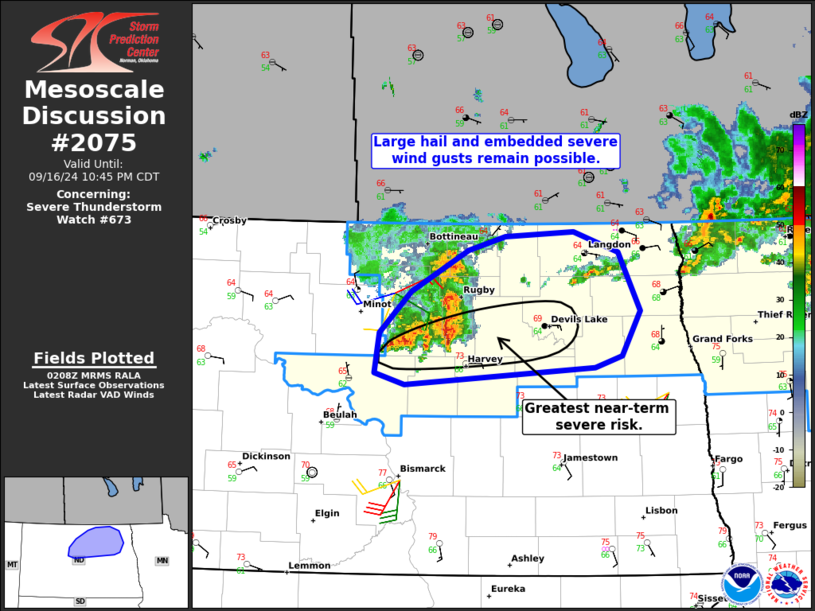
MD 2075 CONCERNING SEVERE POTENTIAL…WATCH UNLIKELY FOR FAR EASTERN OREGON…CENTRAL IDAHO…FAR SOUTHWESTERN MONTANA

Mesoscale Discussion 2075
NWS Storm Prediction Center Norman OK
0310 PM CDT Sun Sep 14 2025
Areas affected...far eastern Oregon...central Idaho...far
southwestern Montana
Concerning...Severe potential...Watch unlikely
Valid 142010Z - 142215Z
Probability of Watch Issuance...20 percent
SUMMARY...Thunderstorm activity to increase in coverage through the
afternoon, with marginal risk for strong to severe wind.
DISCUSSION...A belt of enhanced mid-level flow will overspread
portions of the Pacific Northwest into the Northern Rockies this
afternoon/evening, providing large-scale ascent for widely scattered
thunderstorm development. Across portions of eastern Oregon into
central Idaho and western Montana, heating and cooling aloft should
support steepening lapse rates and MLCAPE around 250-500 J/kg amid
30 kts of deep layer shear. With deeply mixed profiles, this will be
sufficient for a few instances of strong to severe wind and small
hail. Given the generally poor thermodynamic profiles, this risk
should remain fairly localized and as such a watch is not
anticipated.
..Thornton/Guyer.. 09/14/2025
...Please see www.spc.noaa.gov for graphic product...
ATTN...WFO...TFX...PIH...MSO...BOI...
LAT...LON   43981763 44751687 46431483 46601332 45691245 44031364
            42821454 42261587 42151732 43101829 43661795 43981763
MOST PROBABLE PEAK WIND GUST...UP TO 60 MPH
MOST PROBABLE PEAK HAIL SIZE...UP TO 1.25 IN
