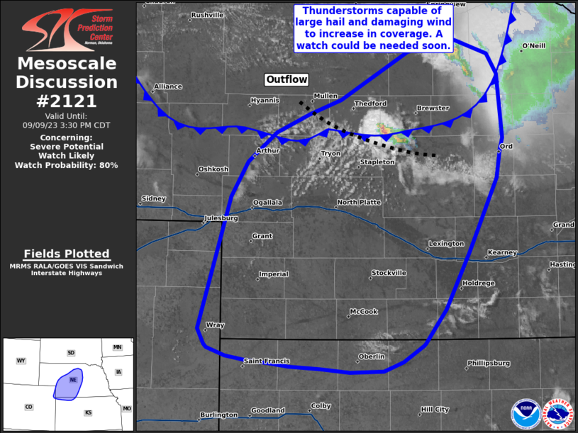
MD 2121 CONCERNING SEVERE THUNDERSTORM WATCH 617… FOR CENTRAL PLAINS

Mesoscale Discussion 2121
NWS Storm Prediction Center Norman OK
1107 PM CDT Mon Sep 22 2025
Areas affected...Central Plains
Concerning...Severe Thunderstorm Watch 617...
Valid 230407Z - 230600Z
The severe weather threat for Severe Thunderstorm Watch 617
continues.
SUMMARY...Thunderstorms should continue to expand in areal coverage
over the central Plains. Hail/wind threat continues.
DISCUSSION...Leading edge of large-scale support appears to be
correlated with an arcing band of convection from southwest
KS-eastern OK/TX Panhandles. The northern most portion of this line
may actually be associated with a weak midlevel vort. 1km flow is
gradually increasing across western OK into south central KS, with
25-35kt now common. Current thinking is thunderstorms will gradually
expand in areal coverage along the leading edge of the LLJ,
immediately ahead of the aforementioned midlevel vort, within the
zone of strongest low-level warm advection. Some hail is likely with
the strongest updrafts, but gusty winds may also be noted along the
leading edge of the arcing band of convection, possibly extending a
bit south of the watch across northwestern OK. An MCS may ultimately
evolve over southern KS/northern OK which should propagate east into
the early-morning hours.
..Darrow.. 09/23/2025
...Please see www.spc.noaa.gov for graphic product...
ATTN...WFO...ICT...OUN...DDC...GLD...AMA...
LAT...LON   36530130 38830200 38839792 36539734 36530130
MOST PROBABLE PEAK TORNADO INTENSITY...UP TO 95 MPH
MOST PROBABLE PEAK WIND GUST...65-80 MPH
MOST PROBABLE PEAK HAIL SIZE...1.00-1.75 IN
