
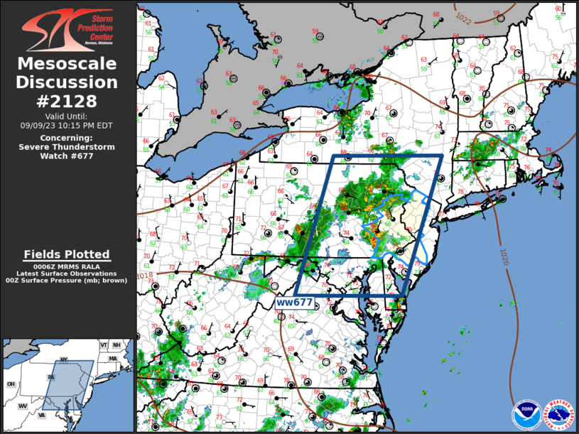
MD 2128 CONCERNING SEVERE POTENTIAL…WATCH UNLIKELY FOR PORTIONS OF NORTHERN MD…EASTERN PA…FAR SOUTHERN NY…NJ…AND NORTHERN DE
Mesoscale Discussion 2128
NWS Storm Prediction Center Norman OK
0222 PM CDT Thu Sep 25 2025
Areas affected...portions of northern MD...eastern PA...far southern
NY...NJ...and northern DE
Concerning...Severe potential...Watch unlikely
Valid 251922Z - 252115Z
Probability of Watch Issuance...20 percent
SUMMARY...Sporadic strong wind gusts are possible with thunderstorms
this afternoon to early evening.
DISCUSSION...Thunderstorms are gradually increasing in intensity
this afternoon along an eastward-advancing cold front oriented from
central NY/PA  into western MD. Cloud cover has persisted most of
the day, but some cloud breaks have allowed temperatures to warm
into the mid-70s to near 80 F amid a moist boundary layer. Limited
heating and poor lapse rates will preclude stronger destabilization.
Nevertheless, supercell wind profiles are present, per regional VWP
data, but boundary-parallel flow will most favor line segments. Weak
instability (up to 500-1000 J/kg MLCAPE) could support sporadic
strong gusts, especially across southeast PA and vicinity where
stronger heating has occurred. Overall severe potential is expected
to remain low, but a stronger storm or two will be possible. A watch
is not expected at this time.
..Leitman/Mosier.. 09/25/2025
...Please see www.spc.noaa.gov for graphic product...
ATTN...WFO...OKX...PHI...BGM...CTP...LWX...
LAT...LON   39637781 40357747 41097635 41477558 41687509 41717469
            41557442 41277418 40407432 39837470 39427588 39347716
            39637781
MOST PROBABLE PEAK TORNADO INTENSITY...UP TO 95 MPH
MOST PROBABLE PEAK WIND GUST...UP TO 60 MPH