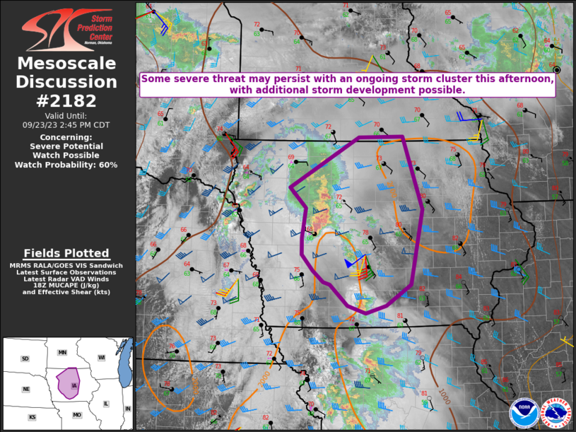
MD 2182 CONCERNING TORNADO WATCH 632… FOR PARTS OF SOUTH-CENTRAL LOUISIANA INTO FAR SOUTHWEST MISSISSIPPI

Mesoscale Discussion 2182
NWS Storm Prediction Center Norman OK
0137 AM CDT Sun Oct 26 2025
Areas affected...Parts of south-central Louisiana into far southwest
Mississippi
Concerning...Tornado Watch 632...
Valid 260637Z - 260800Z
The severe weather threat for Tornado Watch 632 continues.
SUMMARY...The risk of a couple tornadoes and locally damaging gusts
will continue spreading eastward across southern Louisiana and far
southern Mississippi early this morning -- within Tornado Watch 632.
DISCUSSION...An earlier band of convection has largely devolved into
disorganized semi-discrete elements while tracking slowly eastward
across southern LA this morning. Ahead of this activity, the HDC VWP
is sampling 40-kt flow between 0.5 and 1 km. This flow field is
coincident with around 2-mb surface pressure falls and resulting in
increased low-level hodograph curvature compared to the earlier
pre-convective environment farther west. While the continued messy
storm mode and only modest low-level mass response continue to cast
uncertainty on the overall severe risk, the implied low-level
streamwise vorticity and moist boundary layer (lower 70s dewpoints)
will continue to support a risk of a couple tornadoes with eastward
extent.
..Weinman.. 10/26/2025
...Please see www.spc.noaa.gov for graphic product...
ATTN...WFO...JAN...LIX...LCH...
LAT...LON   31009094 30659092 30209112 29959146 29869193 29989226
            30219230 30749197 31159158 31309134 31229110 31009094
MOST PROBABLE PEAK TORNADO INTENSITY...85-115 MPH
MOST PROBABLE PEAK WIND GUST...55-70 MPH
