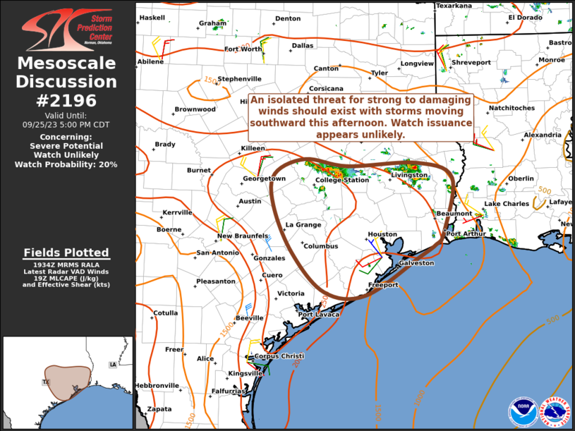
MD 2196 CONCERNING SEVERE POTENTIAL…WATCH UNLIKELY FOR COASTAL OREGON

Mesoscale Discussion 2196
NWS Storm Prediction Center Norman OK
0209 PM CST Wed Nov 05 2025
Areas affected...Coastal Oregon
Concerning...Severe potential...Watch unlikely
Valid 052009Z - 052215Z
Probability of Watch Issuance...20 percent
SUMMARY...Isolated to widely-scattered low-topped storms are
expected to move onshore over the next few hours. Very strong shear
profiles will support some storm organization, with damaging gusts
and a brief waterspout/tornado possible. Conditions will be
monitored, but a WW is currently not anticipated.
DISCUSSION...As of 2005 UTC, afternoon water-vapor imagery showed a
strong shortwave trough moving onshore over the Pacific Northwest
within a broader Pacific upper low. Regional VWPs continue to show
strong mid-level flow with ample low-level shear as a jet streak
south of the main trough moves onshore. Beneath the upper low, cold
mid-level temperatures (-22 to -24 C) and filtered diurnal heating
within a moist maritime air mass are steepening low-level lapse
rates and supporting weak buoyancy (MUCAPE around 500 J/kg). Strong
ascent and continued destabilization should allow for several rounds
of thunderstorms to move onshore over western OR this afternoon and
evening.
Already, low-topped cells have gradually intensified, with a notable
increase in lightning near the mouth of the Columbia River and
father offshore. As these storms move inland, downward momentum
transfer of the strong mid-level flow (50+ kt at 4km AGL) should
allow for isolated damaging gusts as downdrafts become established.
Enlarged veering hodographs (ESRH 200-250 m2/s2) may also support
the potential for a waterspout/brief tornado with any transient
rotating storms. However, the weak buoyancy should limit broader
organized severe potential.
..Lyons/Smith.. 11/05/2025
...Please see www.spc.noaa.gov for graphic product...
ATTN...WFO...MFR...PQR...
LAT...LON   42912311 42572423 43172506 44332503 44652499 45502516
            45972511 46282429 46302372 45762318 42912311
MOST PROBABLE PEAK TORNADO INTENSITY...85-115 MPH
MOST PROBABLE PEAK WIND GUST...55-70 MPH
