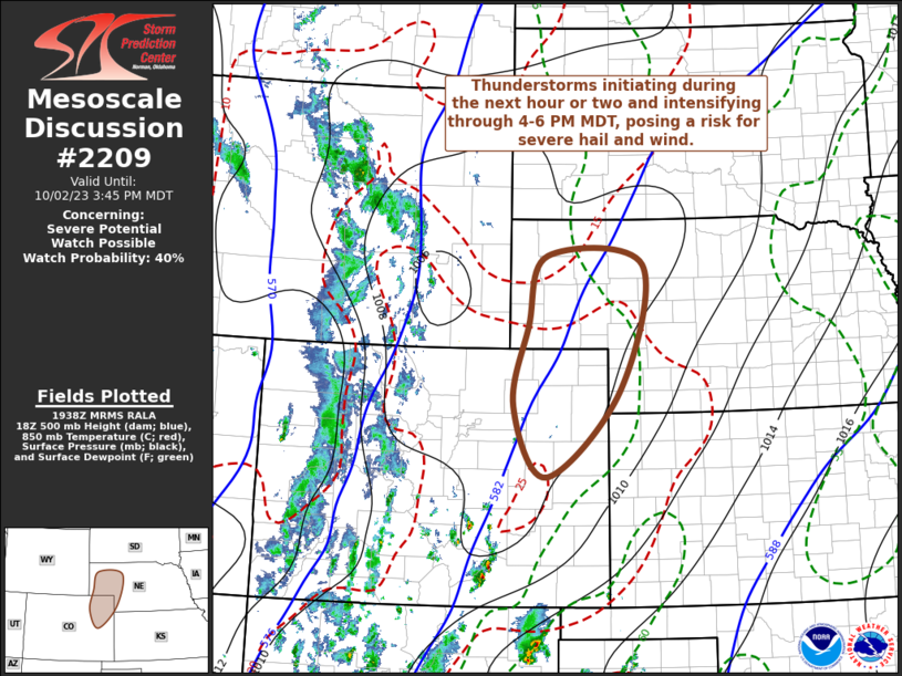
MD 2209 CONCERNING SEVERE THUNDERSTORM WATCH 636… FOR THE MISSOURI BOOTHEEL INTO PARTS OF WESTERN TENNESSEE AND KENTUCKY

Mesoscale Discussion 2209
NWS Storm Prediction Center Norman OK
0609 PM CST Tue Nov 18 2025
Areas affected...The Missouri Bootheel into parts of western
Tennessee and Kentucky
Concerning...Severe Thunderstorm Watch 636...
Valid 190009Z - 190215Z
The severe weather threat for Severe Thunderstorm Watch 636
continues.
SUMMARY...Strong to severe thunderstorms remain possible across
portions of the mid-MS River Valley and lower OH River Valley over
the next couple of hours as storms move into a favorable air mass.
DISCUSSION...Thunderstorms moving across far southeast MO have
struggled to maintain intensity thus far, likely owing to lingering
inhibition noted in recent RAP mesoanalyses. Despite new updraft
development noted in IR imagery over the past hour, most new cells
have similarly struggled to intensify, casting doubt on storm
coverage through the rest of the evening. However, ongoing cells are
migrating into the apex of the low-level theta-e plume where
buoyancy should be relatively maximized. The KPAH VWP continues to
sample strong mid-level flow, suggesting that the best convective
environment remains immediately downstream of already established,
albeit weak, supercells. While confidence is low, an uptick in storm
intensity/organization remains possible over the next couple of
hours as storms cross the MS River and enter far western KY and far
northwest KY.
..Moore.. 11/19/2025
...Please see www.spc.noaa.gov for graphic product...
ATTN...WFO...OHX...PAH...MEG...
LAT...LON   36689051 36849036 37438910 37518878 37448838 36708751
            36558746 36418746 36258754 35978778 35768811 35758857
            36489054 36689051
MOST PROBABLE PEAK TORNADO INTENSITY...85-115 MPH
MOST PROBABLE PEAK WIND GUST...UP TO 60 MPH
MOST PROBABLE PEAK HAIL SIZE...1.00-1.75 IN
