
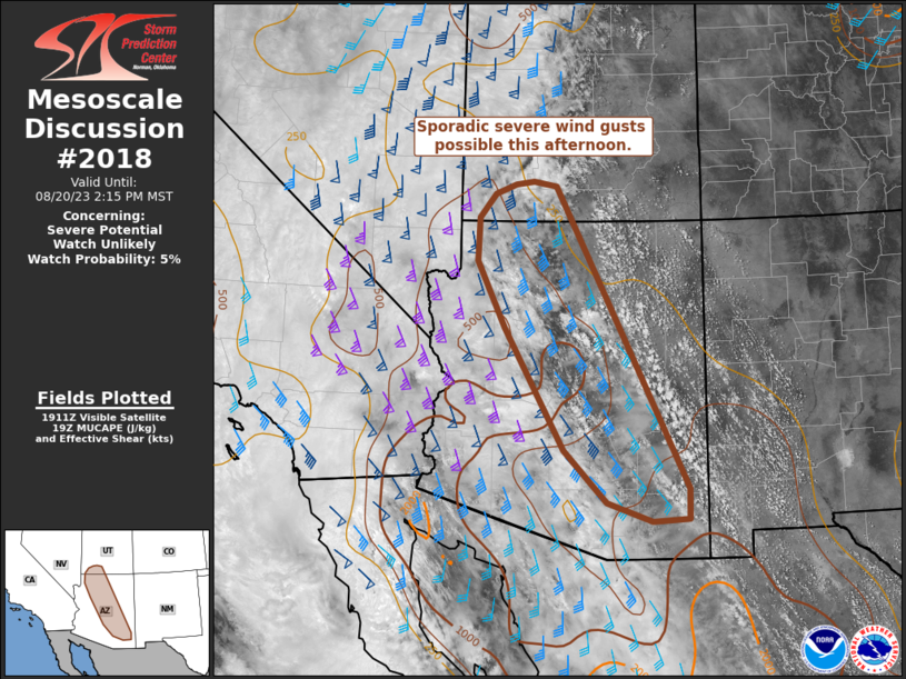
MD 2018 CONCERNING SEVERE POTENTIAL…WATCH UNLIKELY FOR SOUTHEAST WYOMING INTO CENTRAL COLORADO AND NORTHEAST NEW MEXICO
Mesoscale Discussion 2018
NWS Storm Prediction Center Norman OK
0206 PM CDT Thu Aug 28 2025
Areas affected...Southeast Wyoming into central Colorado and
northeast New Mexico
Concerning...Severe potential...Watch unlikely
Valid 281906Z - 282100Z
Probability of Watch Issuance...5 percent
SUMMARY...Isolated to scattered thunderstorms may produce sporadic
large hail and severe gusts this afternoon into the evening hours
from southeast Wyoming into central Colorado and far northeast New
Mexico. Watch issuance is not expected.
DISCUSSION...The early stages of diurnal thunderstorm development
are well underway across the central Rockies with a few deeper
convective cores noted from southeast WY southward into the Front
Range and into far northeast NM. Although the upslope flow regime is
fairly modest based on surface winds (around 5-10 knots), weak
capping is quickly being removed as temperatures warm into the low
to mid 70s within a somewhat moist (mid/upper 50s dewpoints) air
mass. Further daytime heating should promote additional thunderstorm
development through late afternoon and early evening. Despite meager
low-level flow, recent RAP analyses suggest 30-35 knot flow at
around 6 km AGL is overspreading the region, which should provide
adequate hodograph elongation for cell organization. Modest
mid-level lapse rates, limited forcing for ascent away from the
terrain, and weak height rises near the apex of the upper ridge
should modulate the propensity for severe convection; however, a
supercell or two appears possible given adequate buoyancy and
sufficient deep-layer wind shear. In addition to a large hail
threat, deeper convection may also produce strong downburst winds
immediately east of the Front Range where low-level lapse rates are
increasing to near 8 C/km.
..Moore/Mosier.. 08/28/2025
...Please see www.spc.noaa.gov for graphic product...
ATTN...WFO...PUB...BOU...CYS...ABQ...
LAT...LON   36930323 36480325 36290331 36150347 36160381 36200397
            36320422 36480439 36740460 36920464 40980532 41710547
            42050545 42240528 42320512 42320478 42250452 42100425
            41960406 41740387 36930323
MOST PROBABLE PEAK WIND GUST...UP TO 60 MPH
MOST PROBABLE PEAK HAIL SIZE...UP TO 1.25 IN