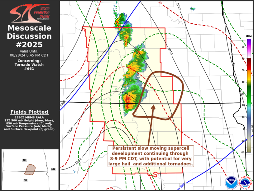
MD 2025 CONCERNING SEVERE POTENTIAL…WATCH UNLIKELY FOR SOUTHWEST/SOUTH-CENTRAL KS INTO NORTHWEST/NORTH-CENTRAL OK AND THE FAR NORTHEAST TX PANHANDLE

Mesoscale Discussion 2025
NWS Storm Prediction Center Norman OK
0201 PM CDT Mon Sep 01 2025
Areas affected...Southwest/south-central KS into
northwest/north-central OK and the far northeast TX Panhandle
Concerning...Severe potential...Watch unlikely
Valid 011901Z - 012130Z
Probability of Watch Issuance...20 percent
SUMMARY...Strong to locally severe storms will be possible this
afternoon into the early evening, with a threat of isolated hail and
localized strong to severe gusts.
DISCUSSION...Convective initiation has recently been noted near
Dodge City, in the vicinity of a weak surface trough/low. Diurnal
heating of a relatively moist airmass has resulted in the
development of moderate buoyancy, with MLCAPE increasing into the
1000-1500 J/kg range where stronger heating is underway. Weak
midlevel lapse rates (sampled by the 12Z DDC and OUN soundings) may
tend to slow updraft intensification, but with time, scattered
thunderstorm development is expected within a weakly capped
environment, as a mid/upper-level shortwave trough moves
southeastward across central/eastern KS.
A belt of moderate north-northwesterly midlevel flow associated with
the approaching shortwave trough will overspread
southwest/south-central KS into northwest/north-central OK with
time, resulting in elongated hodographs and sufficient deep-layer
shear for storm organization. Multicell clusters and possibly a
supercell or two may evolve within this regime. The weak midlevel
lapse rates will tend to limit the magnitude of the hail threat, but
isolated severe hail will be possible if any supercells can be
sustained. Steepening of low-level lapse rates will support some
potential for localized strong to severe gusts, especially if any
organized clustering evolves with time.
..Dean/Gleason.. 09/01/2025
...Please see www.spc.noaa.gov for graphic product...
ATTN...WFO...ICT...OUN...DDC...AMA...
LAT...LON   38160061 38349841 38319703 37519697 37099722 36049783
            35809823 35779916 35880025 36210043 38160061
MOST PROBABLE PEAK WIND GUST...55-70 MPH
MOST PROBABLE PEAK HAIL SIZE...1.00-1.75 IN
