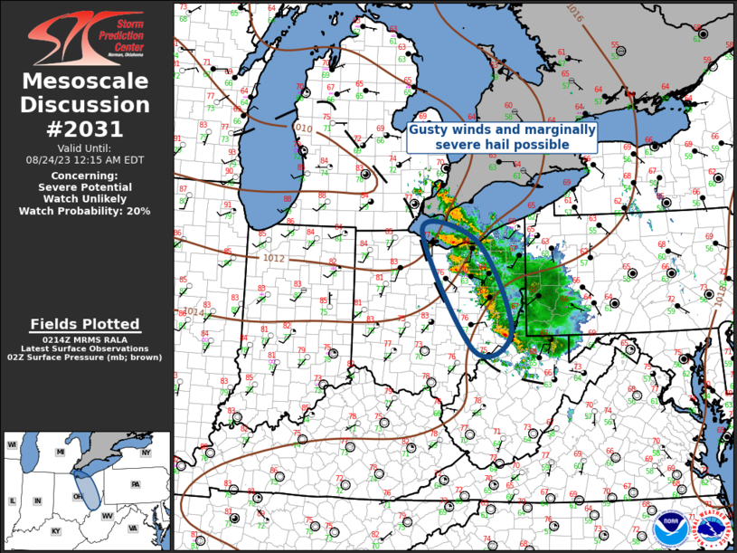
MD 2031 CONCERNING SEVERE POTENTIAL…WATCH UNLIKELY FOR PARTS OF SOUTHWESTERN THROUGH NORTH CENTRAL VIRGINIA…NORTHWESTERN NORTH CAROLINA

Mesoscale Discussion 2031
NWS Storm Prediction Center Norman OK
1241 PM CDT Thu Sep 04 2025
Areas affected...parts of southwestern through north central
Virginia...northwestern North Carolina
Concerning...Severe potential...Watch unlikely
Valid 041741Z - 041945Z
Probability of Watch Issuance...20 percent
SUMMARY...Developing thunderstorm activity may increasingly pose a
risk for sporadic damaging wind gusts through late afternoon.  This
seems unlikely to require a severe weather watch, but trends are
being monitored.
DISCUSSION...Destabilization is ongoing to the lee of the Blue
Ridge, as insolation contributes to warming within a modestly moist
boundary layer with surface dew points mostly in the lower/mid 60s
F.  It appears that this could contribute to CAPE in excess of 1000
J/kg, within a least a narrow corridor near the pre-frontal lee
surface troughing.
Forcing for ascent, associated with a short wave perturbation within
the moderately strong larger-scale cyclonic southwesterly mid-level
flow, is in the process of spreading across and east of the higher
terrain to the west.  This has provided continuing support for an
organized area of thunderstorm development now spreading through
southwestern Virginia, and into northwestern North Carolina, with
new thunderstorms beginning to initiate within the pre-frontal
troughing, northeastward toward the Greater Washington D.C vicinity.
A gradual further intensification of the thunderstorm activity is
probable in the presence of modest deep-layer shear through mid to
late afternoon.  Deep-layer southwesterly mean wind fields, however,
through the lower/mid-troposphere, appear a generally modest 20-30
kts.  This may be sufficient, coupled with modestly steep low-level
lapse rates, to support potential for sporadic damaging wind gusts,
but the lack of stronger instability suggests that the overall
severe threat will remain limited.
..Kerr/Gleason.. 09/04/2025
...Please see www.spc.noaa.gov for graphic product...
ATTN...WFO...AKQ...LWX...RAH...RNK...GSP...
LAT...LON   36218148 36858101 37288049 39097773 38417686 37657759
            35838020 36218148
MOST PROBABLE PEAK WIND GUST...55-70 MPH
