
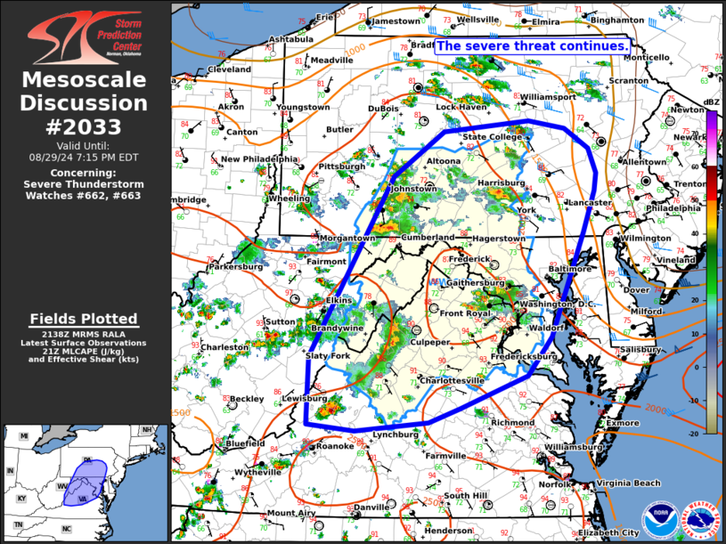
MD 2033 CONCERNING SEVERE POTENTIAL…WATCH UNLIKELY FOR PORTIONS OF EASTERN MARYLAND…EASTERN VIRGINIA…AND NORTHERN NORTH CAROLINA
Mesoscale Discussion 2033
NWS Storm Prediction Center Norman OK
0439 PM CDT Thu Sep 04 2025
Areas affected...portions of eastern Maryland...eastern
Virginia...and northern North Carolina
Concerning...Severe potential...Watch unlikely
Valid 042139Z - 042315Z
Probability of Watch Issuance...5 percent
SUMMARY...A few damaging gusts may accompany the stronger storms for
a few more hours, before storms weaken with the onset of nocturnal
cooling.
DISCUSSION...Multiple strong thunderstorms persist ahead of a
surface cold front over northern North Carolina into eastern
Virginia/Maryland. With diurnal heating continuing along the East
Coast, temperatures are in the 80s F, amid low to upper 60s F
dewpoints, yielding 500-1000 J/kg MLCAPE despite poor mid-level
lapse rates (per 21Z mesoanalysis). The current thinking is that
these storms may persist for a few more hours, accompanied by strong
to occasionally damaging wind gusts, and an instance or two of hail
cannot be ruled out. With time, storms should begin to weaken as
nocturnal cooling increases convective inhibition and CAPE weakens.
..Squitieri/Mosier.. 09/04/2025
...Please see www.spc.noaa.gov for graphic product...
ATTN...WFO...PHI...AKQ...CTP...LWX...RAH...RNK...
LAT...LON   38157599 36547748 35887854 35717910 35747958 35867976
            36087968 37487846 39357715 39577683 39777612 39557577
            38967570 38157599
MOST PROBABLE PEAK WIND GUST...UP TO 60 MPH