
MD 2081 CONCERNING TORNADO WATCH 610… FOR PORTIONS OF NORTHERN INTO EASTERN NORTH DAKOTA
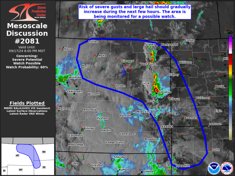
Mesoscale Discussion 2081
NWS Storm Prediction Center Norman OK
0658 PM CDT Sun Sep 14 2025
Areas affected...portions of northern into eastern North Dakota
Concerning...Tornado Watch 610...
Valid 142358Z - 150100Z
The severe weather threat for Tornado Watch 610 continues.
SUMMARY...A few instances of severe wind or hail remain possible
over the next few hours. Localized tornado potential will also
continue over the next hour with a supercell in northern ND.
DISCUSSION...A supercell structure, anchored to an MCV on a
warm-frontal boundary, continues to produce tornadoes while tracking
to the north. This storm will likely persist with continued tornado
potential over the next hour. Arching bands of storms farther to the
east are progressing into a more favorable airmass, characterized by
2500 J/kg MLCAPE. The expectation is for these storms to progress
northward through the evening with isolated severe gust/hail
threats.
..Squitieri.. 09/14/2025
...Please see www.spc.noaa.gov for graphic product...
ATTN...WFO...FGF...BIS...
LAT...LON   47890092 48340122 48760119 48950101 48980047 48699925
            48029818 46719791 46379801 46189809 46099828 46159866
            46369917 46869985 47350053 47710079 47890092
MOST PROBABLE PEAK TORNADO INTENSITY...85-115 MPH
MOST PROBABLE PEAK WIND GUST...55-70 MPH
MOST PROBABLE PEAK HAIL SIZE...UP TO 1.25 IN