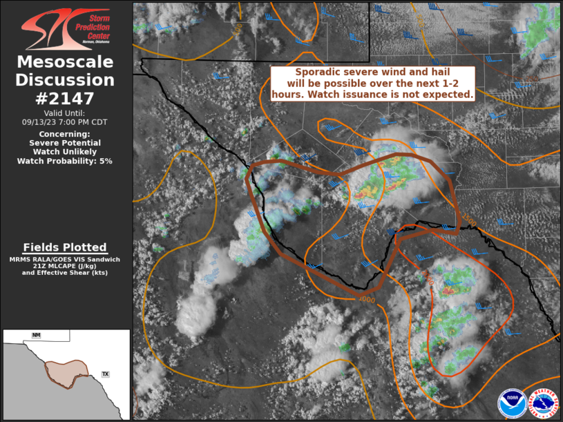
MD 2147 CONCERNING SEVERE POTENTIAL…WATCH UNLIKELY FOR NORTHERN NEW MEXICO TO CENTRAL COLORADO

Mesoscale Discussion 2147
NWS Storm Prediction Center Norman OK
0302 PM CDT Wed Oct 15 2025
Areas affected...Northern New Mexico to central Colorado
Concerning...Severe potential...Watch unlikely
Valid 152002Z - 152200Z
Probability of Watch Issuance...20 percent
SUMMARY...Isolated to scattered thunderstorm development is expected
heading into the late afternoon and evening hours. A few
strong/severe storms are possible and may pose a threat for isolated
large hail and severe winds. Watch issuance is not expected.
DISCUSSION...Latest GOES visible imagery shows building cumulus and
a few early attempts at convective initiation across northern NM
into central and east-central CO as temperatures slowly warm into
the low 70s (and even the low 80s for a few locations).
Additionally, surface pressure falls across the region hint at
broad-scale ascent overspreading the region as the upper wave over
the Great Basin begins to shift towards the central Rockies. The
combination of additional heating and modest ascent/mid-level
cooling should act to reducing lingering inhibition and promote
sustained thunderstorm development through the late
afternoon/evening hours.
Regional VWPs continue to sample 40-50 knot mid-level flow over the
central Rockies. Although buoyancy profiles are not expected to be
substantially deep, adequate shear within the CAPE-bearing layer
should be sufficient for a few persistent, organized cells capable
of producing large hail and severe gusts, possibly up to 70 mph.
Without a more focused/mesoscale lifting mechanism present,
strong/severe storm coverage should be sufficiently isolated to
preclude watch issuance.
..Moore/Leitman.. 10/15/2025
...Please see www.spc.noaa.gov for graphic product...
ATTN...WFO...PUB...BOU...ABQ...GJT...
LAT...LON   35530742 35920768 36350783 36860787 37340780 37740768
            38000740 39770560 39940538 40170497 40270462 40260425
            40150389 39950365 39600351 39100348 38300372 36000527
            35630561 35410584 35250616 35180646 35180672 35230703
            35530742
MOST PROBABLE PEAK TORNADO INTENSITY...UP TO 95 MPH
MOST PROBABLE PEAK WIND GUST...55-70 MPH
MOST PROBABLE PEAK HAIL SIZE...UP TO 1.25 IN
