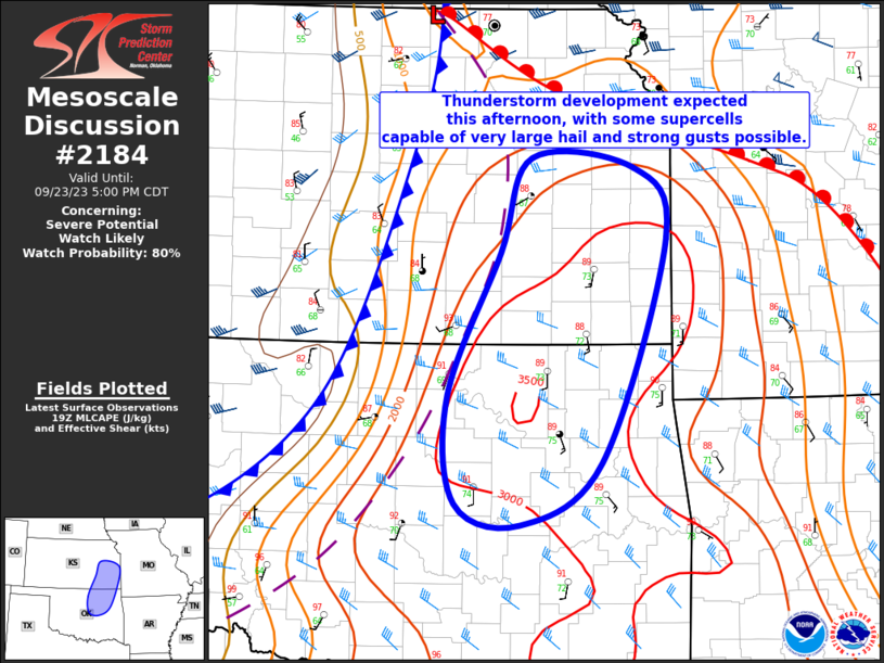
MD 2184 CONCERNING TORNADO WATCH 633… FOR PARTS OF SOUTHEASTERN LOUISIANA AND SOUTHERN MISSISSIPPI

Mesoscale Discussion 2184
NWS Storm Prediction Center Norman OK
0617 AM CDT Sun Oct 26 2025
Areas affected...Parts of southeastern Louisiana and southern
Mississippi
Concerning...Tornado Watch 633...
Valid 261117Z - 261245Z
The severe weather threat for Tornado Watch 633 continues.
SUMMARY...A notable uptick in thunderstorm intensity is evident
across parts of southeastern Louisiana into southern Mississippi --
within Tornado Watch 633. This trend may continue for at least
another couple hours, with a risk for a couple tornadoes.
DISCUSSION...The latest radar and lightning data indicate an
increase in thunderstorm intensity/organization over the last hour
-- generally in a north-south corridor extending from southeast LA
into southern MS. A couple radar-confirmed tornadoes have been noted
with this activity. The broken band of supercells are evolving
east-northeastward in an environment characterized by
enlarged/clockwise-curved low-level hodographs (upwards of 250 m2/s2
0-1 km SRH per VWP) and lower 70s boundary-layer dewpoints. As these
established storms and favorable environment continue spreading
eastward this morning, the risk for couple tornadoes will continue
across Tornado Watch 633.
..Weinman.. 10/26/2025
...Please see www.spc.noaa.gov for graphic product...
ATTN...WFO...MOB...JAN...LIX...
LAT...LON   29629090 31309002 31438983 31428945 31238921 30178952
            29199002 29109032 29359081 29629090
MOST PROBABLE PEAK TORNADO INTENSITY...85-115 MPH
MOST PROBABLE PEAK WIND GUST...55-70 MPH
