
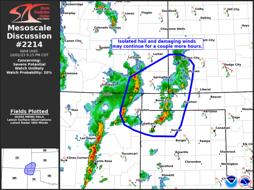
MD 2214 CONCERNING SEVERE POTENTIAL…WATCH UNLIKELY FOR SOUTHERN TX PANHANDLE/TX SOUTH PLAINS
Mesoscale Discussion 2214
NWS Storm Prediction Center Norman OK
0247 PM CST Thu Nov 20 2025
Areas affected...Southern TX Panhandle/TX South Plains
Concerning...Severe potential...Watch unlikely
Valid 202047Z - 202315Z
Probability of Watch Issuance...20 percent
SUMMARY...Some stronger gusts and isolated hail are possible across
the southern TX Panhandle/TX South Plains this afternoon.
DISCUSSION...Visible satellite imagery has shown a clearing trend
across much of southwest TX over the last few hours, with some
clearing now noted across the South Plains. This clearing is
occurring just ahead of a line of deeper convective cores (and
sporadic lightning) moving quickly northeastward across the region.
This line has developing along the leading edge of stronger forcing
for ascent attendant to a shortwave trough pivoting across the
southern High Plains. The clearing and subsequent heating/mixing of
the boundary layer resulted in a reduction in the overall buoyancy,
with updraft strength remaining muted thus far. A similar scenario
may unfold farther north across the southern TX Panhandle, although
the greater low-level moisture will eastward/southeastward extent
should allow for some modest buoyancy to remain. As such, the
general expectation is for updraft strength to gradually increase
within this line as it moves into this greater low-level moisture
and buoyancy over the southeast TX Panhandle/far northwest TX
vicinity. This could result in a few stronger gusts as well as
isolated hail. Currently, severe coverage is expected to remain low
enough to preclude watch issuance, but convective trends will be
monitored closely.
..Mosier/Guyer.. 11/20/2025
...Please see www.spc.noaa.gov for graphic product...
ATTN...WFO...LUB...AMA...
LAT...LON   33990244 34710220 35040099 34680022 33620013 33090080
            33110185 33990244
MOST PROBABLE PEAK TORNADO INTENSITY...UP TO 95 MPH
MOST PROBABLE PEAK WIND GUST...55-70 MPH
MOST PROBABLE PEAK HAIL SIZE...UP TO 1.25 IN