
WW 33 TORNADO AR LA MS 142200Z – 150300Z
URGENT - IMMEDIATE BROADCAST REQUESTED
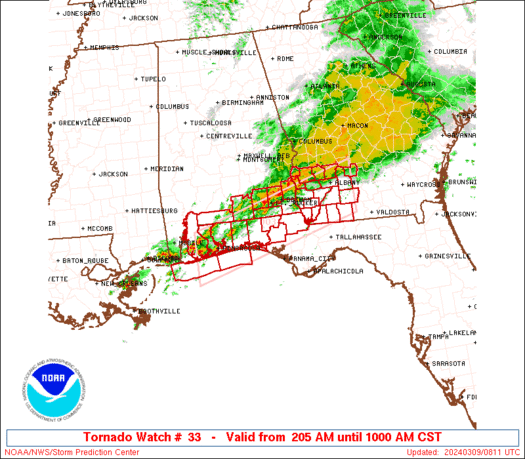
Tornado Watch Number 33
NWS Storm Prediction Center Norman OK
500 PM CDT Fri Mar 14 2025
The NWS Storm Prediction Center has issued a
* Tornado Watch for portions of
Far Southeast Arkansas
Eastern and Northeastern Louisiana
Western and Southwestern Mississippi
* Effective this Friday afternoon and evening from 500 PM until
1000 PM CDT.
* Primary threats include...
Several tornadoes and a couple intense tornadoes likely
Scattered damaging wind gusts to 70 mph likely
Scattered large hail and isolated very large hail events to 2
inches in diameter possible
SUMMARY...Thunderstorm development is anticipated this afternoon and
evening within the strongly shear and unstable environment across
the Lower Mississippi Valley. Environmental conditions are favorable
for supercells capable of all severe hazards, including very large
hail and strong (EF2+) tornadoes.
The tornado watch area is approximately along and 65 statute miles
east and west of a line from 65 miles south southeast of Alexandria
LA to 25 miles northwest of Greenwood MS. For a complete depiction
of the watch see the associated watch outline update (WOUS64 KWNS
WOU3).
PRECAUTIONARY/PREPAREDNESS ACTIONS...
REMEMBER...A Tornado Watch means conditions are favorable for
tornadoes and severe thunderstorms in and close to the watch
area. Persons in these areas should be on the lookout for
threatening weather conditions and listen for later statements
and possible warnings.
&&
OTHER WATCH INFORMATION...CONTINUE...WW 30...WW 31...WW 32...
AVIATION...Tornadoes and a few severe thunderstorms with hail
surface and aloft to 2 inches. Extreme turbulence and surface wind
gusts to 60 knots. A few cumulonimbi with maximum tops to 500. Mean
storm motion vector 24040.
...Mosier