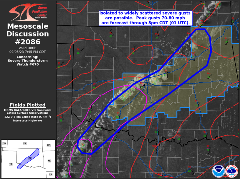
MD 2086 CONCERNING SEVERE POTENTIAL…WATCH UNLIKELY FOR PORTIONS OF FAR SOUTHEAST COLORADO INTO FAR SOUTHWESTERN KANSAS

Mesoscale Discussion 2086
NWS Storm Prediction Center Norman OK
0447 PM CDT Tue Sep 16 2025
Areas affected...portions of far southeast Colorado into far
southwestern Kansas
Concerning...Severe potential...Watch unlikely
Valid 162147Z - 162315Z
Probability of Watch Issuance...20 percent
SUMMARY...A few instances of severe hail may accompany the stronger
storms that can mature, and a severe gust also cannot be ruled out.
DISCUSSION...Thunderstorms have been increasing in intensity across
southeastern CO into southwestern KS over the past 1-2 hours, with
50+ dBZ cores occasionally exceeding 30 kft per MRMS mosaic radar
imagery. These storms are developing amid a steep mid-level lapse
rate environment (e.g. 8 C/km), yielding 1500-2500 J/kg MLCAPE.
Despite favorable buoyancy, vertical wind shear is relatively poor,
and forcing for ascent should remain weak as well, which should
limit the overall severe threat. Nonetheless, given steep mid-level
lapse rates, any storm that can mature and achieve at least
transient supercell structure may produce isolated instances of
severe hail and perhaps a severe gust or two.
..Squitieri/Gleason.. 09/16/2025
...Please see www.spc.noaa.gov for graphic product...
ATTN...WFO...DDC...AMA...PUB...
LAT...LON   37420333 38070280 38250125 38150054 37680041 37270053
            37040085 36930143 36880202 36950266 37060305 37420333
MOST PROBABLE PEAK WIND GUST...UP TO 60 MPH
MOST PROBABLE PEAK HAIL SIZE...1.00-1.75 IN
