

MD 0090 CONCERNING TORNADO WATCH 5…6… FOR SOUTHEAST MS AND SOUTHWEST AL Mesoscale Discussion 0090 NWS Storm Prediction Center Norman OK 0511 PM CST Wed Feb 12 2025 Areas affected…southeast MS and southwest AL Concerning…Tornado Watch 5…6… Valid 122311Z – 130045Z The severe weather threat for Tornado Watch 5, 6 continues. SUMMARY…Primary tornado threat will …
Continue reading SPC MD 90
Category:Weather
SPC MD 89

MD 0089 CONCERNING WINTER MIXED PRECIPITATION FOR EASTERN INDIANA INTO NORTHWEST OHIO Mesoscale Discussion 0089 NWS Storm Prediction Center Norman OK 0229 PM CST Wed Feb 12 2025 Areas affected…Eastern Indiana into northwest Ohio Concerning…Winter mixed precipitation Valid 122029Z – 130030Z SUMMARY…A mix of sleet and freezing rain is expected to overspread eastern Indiana and …
Continue reading SPC MD 89
SPC Tornado Watch 5
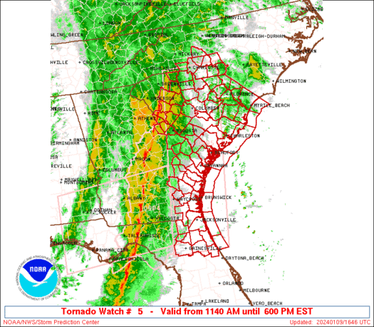
WW 5 TORNADO LA MS CW 121805Z – 130200Z URGENT – IMMEDIATE BROADCAST REQUESTED Tornado Watch Number 5 NWS Storm Prediction Center Norman OK 1205 PM CST Wed Feb 12 2025 The NWS Storm Prediction Center has issued a * Tornado Watch for portions of Southern and Central Louisiana Southern Mississippi Coastal Waters * Effective …
Continue reading SPC Tornado Watch 5
SPC Tornado Watch 6
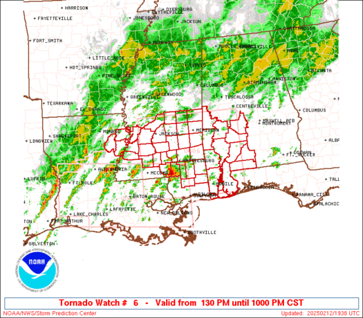
WW 6 TORNADO AL LA MS CW 121930Z – 130400Z URGENT – IMMEDIATE BROADCAST REQUESTED Tornado Watch Number 6 NWS Storm Prediction Center Norman OK 130 PM CST Wed Feb 12 2025 The NWS Storm Prediction Center has issued a * Tornado Watch for portions of Southwest Alabama Eastern Louisiana Southern and South-Central Mississippi Coastal …
Continue reading SPC Tornado Watch 6
SPC MD 88
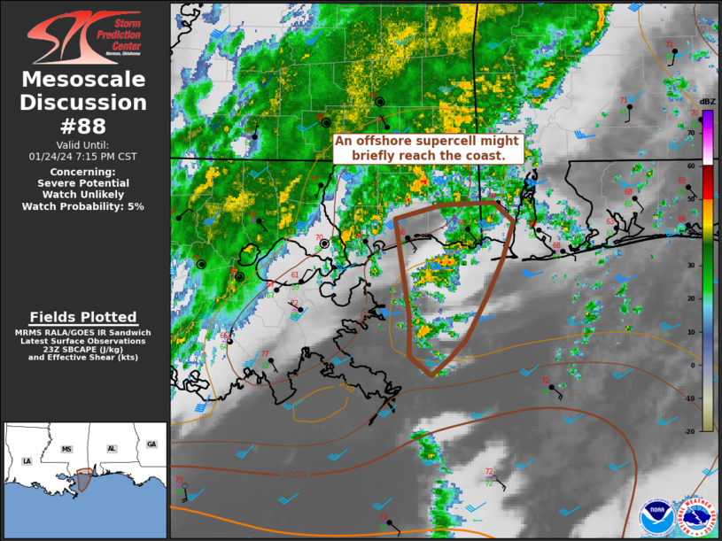
MD 0088 CONCERNING TORNADO WATCH 5… FOR SOUTHERN INTO CENTRAL MISSISSIPPI INTO WESTERN AND SOUTHWESTERN ALABAMA Mesoscale Discussion 0088 NWS Storm Prediction Center Norman OK 0148 PM CST Wed Feb 12 2025 Areas affected…southern into central Mississippi into western and southwestern Alabama Concerning…Tornado Watch 5… Valid 121948Z – 122315Z The severe weather threat for Tornado …
Continue reading SPC MD 88
SPC MD 87

MD 0087 CONCERNING SEVERE POTENTIAL…TORNADO WATCH LIKELY FOR CENTRAL LOUISIANA ACROSS CENTRAL AND SOUTHERN MISSISSIPPI AND INTO WEST-CENTRAL ALABAMA Mesoscale Discussion 0087 NWS Storm Prediction Center Norman OK 1136 AM CST Wed Feb 12 2025 Areas affected…central Louisiana across central and southern Mississippi and into west-central Alabama Concerning…Severe potential…Tornado Watch likely Valid 121736Z – 122000Z …
Continue reading SPC MD 87
SPC MD 86

MD 0086 CONCERNING FREEZING RAIN FOR FAR NORTHWEST NORTH CAROLINA INTO WESTERN AND CENTRAL VIRGINIA Mesoscale Discussion 0086 NWS Storm Prediction Center Norman OK 1058 AM CST Wed Feb 12 2025 Areas affected…Far northwest North Carolina into western and central Virginia Concerning…Freezing rain Valid 121658Z – 122200Z SUMMARY…Another round of freezing rain is expected through …
Continue reading SPC MD 86
SPC MD 85

MD 0085 CONCERNING WINTER MIXED PRECIPITATION FOR SOUTHERN AND CENTRAL MISSOURI…SOUTH-CENTRAL ILLINOIS Mesoscale Discussion 0085 NWS Storm Prediction Center Norman OK 0616 AM CST Wed Feb 12 2025 Areas affected…Southern and Central Missouri…South-central Illinois Concerning…Winter mixed precipitation Valid 121216Z – 121815Z SUMMARY…A mix of freezing rain, sleet and snow will be likely this morning across …
Continue reading SPC MD 85
SPC MD 84

MD 0084 CONCERNING SEVERE POTENTIAL…WATCH UNLIKELY FOR TEXAS COASTAL PLAIN…WESTERN AND CENTRAL LOUISIANA Mesoscale Discussion 0084 NWS Storm Prediction Center Norman OK 0208 AM CST Wed Feb 12 2025 Areas affected…Texas Coastal Plain…Western and Central Louisiana Concerning…Severe potential…Watch unlikely Valid 120808Z – 120915Z Probability of Watch Issuance…20 percent SUMMARY…A marginal severe threat, with strong wind …
Continue reading SPC MD 84
SPC MD 83

MD 0083 CONCERNING FREEZING RAIN FOR OKLAHOMA…FAR NORTHWEST ARKANSAS…FAR SOUTHWEST MISSOURI…FAR SOUTHEAST KANSAS Mesoscale Discussion 0083 NWS Storm Prediction Center Norman OK 0125 AM CST Wed Feb 12 2025 Areas affected…Oklahoma…Far Northwest Arkansas…Far Southwest Missouri…Far Southeast Kansas Concerning…Freezing rain Valid 120725Z – 121330Z SUMMARY…Freezing rain is expected to develop across parts of Oklahoma overnight, with …
Continue reading SPC MD 83