
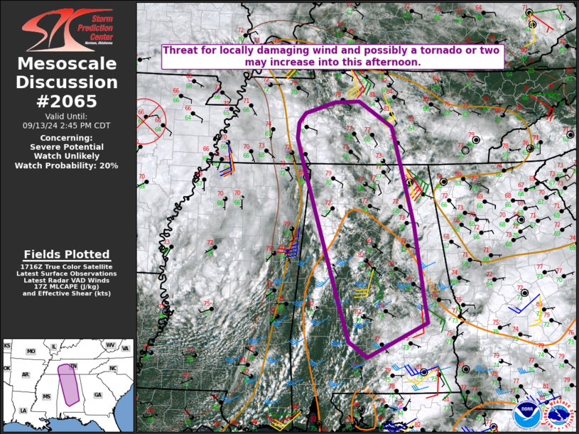
MD 2065 CONCERNING SEVERE POTENTIAL…WATCH UNLIKELY FOR SOUTHEASTERN ARIZONA
Mesoscale Discussion 2065
NWS Storm Prediction Center Norman OK
0202 PM CDT Fri Sep 12 2025
Areas affected...Southeastern Arizona
Concerning...Severe potential...Watch unlikely
Valid 121902Z - 122130Z
Probability of Watch Issuance...20 percent
SUMMARY...Storms are expected to increase in coverage and intensity
through the afternoon across the region, posing an isolated hail and
damaging wind threat.
DISCUSSION...In the wake of a midlevel impulse lifting off to the
north, mostly clear skies have led to surface heating and
destabilization across southeastern Arizona.  Surface dewpoints
mixing into the low 60s F are still supporting over 1500 J/kg of
MLCAPE.  Given the sufficient sufficient deep-layer shear (~30
knots), some storm organization is possible, including transient
supercell structures and storm splitting, given the relatively long,
straight hodographs (per 18Z Tucson sounding).  The strongest storms
will pose a threat of large hail and damaging winds through the
afternoon.  The severe threat is expected to be too isolated to
warrant a severe thunderstorm watch.
..Jirak/Guyer.. 09/12/2025
...Please see www.spc.noaa.gov for graphic product...
ATTN...WFO...EPZ...TWC...FGZ...PSR...
LAT...LON   33411111 33761077 33831006 33280913 32340906 31380902
            31400945 31400985 31401069 31381106 32381140 33181121
            33411111
MOST PROBABLE PEAK WIND GUST...UP TO 60 MPH
MOST PROBABLE PEAK HAIL SIZE...UP TO 1.25 IN