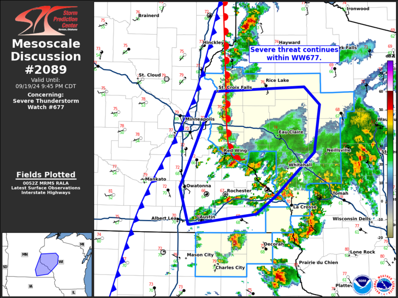
MD 2089 CONCERNING SEVERE THUNDERSTORM WATCH 612… FOR PORTIONS OF NORTHEAST COLORADO INTO EXTREME NORTHWESTERN KANSAS AND WESTERN TO CENTRAL NEBRASKA

Mesoscale Discussion 2089
NWS Storm Prediction Center Norman OK
0707 PM CDT Tue Sep 16 2025
Areas affected...portions of northeast Colorado into extreme
northwestern Kansas and western to central Nebraska
Concerning...Severe Thunderstorm Watch 612...
Valid 170007Z - 170130Z
The severe weather threat for Severe Thunderstorm Watch 612
continues.
SUMMARY...A severe hail/wind threat should persist over the next few
hours, especially over southwestern NE into northwestern KS.
DISCUSSION...Multicells and transient supercell structures have
merged over several locations, resulting in storms percolating in
intensity, with the production of severe wind and/or hail as storms
peak in strength. However, updrafts have been undercut by outflow
from neighboring storms. Any storms that track eastward over
southwestern NE into northwestern KS over the next few hours may
produce a few more instances of severe wind/hail, since the airmass
here remains buoyant (e.g. 2500+ J/kg MLCAPE). Still, deep-layer
flow/shear remains weak over the central Plains, so storms will need
to propagate into this airmass by way of a cold pool. Cold pools
will also undercut updrafts in this environment as a tradeoff,
allowing storms to only be potentially severe for brief periods of
time. As such, the overall severe threat should gradually become
more isolated into the early overnight hours.
..Squitieri.. 09/17/2025
...Please see www.spc.noaa.gov for graphic product...
ATTN...WFO...GID...LBF...GLD...BOU...
LAT...LON   39880384 40240231 40580161 41690079 42280020 42299977
            42099953 41609901 41189877 40519885 40069906 39559935
            39339961 39280013 39460197 39500292 39600351 39880384
MOST PROBABLE PEAK TORNADO INTENSITY...UP TO 95 MPH
MOST PROBABLE PEAK WIND GUST...55-70 MPH
MOST PROBABLE PEAK HAIL SIZE...1.50-2.50 IN
