
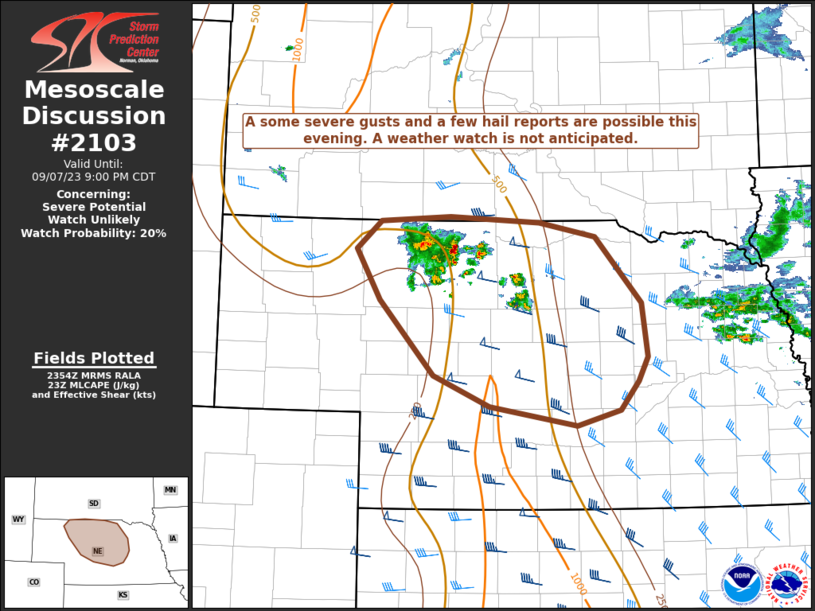
MD 2103 CONCERNING SEVERE POTENTIAL…WATCH POSSIBLE FOR NORTHERN AND CENTRAL KANSAS
Mesoscale Discussion 2103
NWS Storm Prediction Center Norman OK
0532 PM CDT Fri Sep 19 2025
Areas affected...Northern and Central Kansas
Concerning...Severe potential...Watch possible
Valid 192232Z - 200030Z
Probability of Watch Issuance...60 percent
SUMMARY...A pair of supercells across portions of northern Kansas
continue generally southward, with a history of hail production and
damaging winds. While storm reports have yet to suggest significant
hail sizes are reaching the surface, large hail, large volumes of
hail, and strong to damaging winds within downdraft cores will
continue to be possible. Weather watch issuance could be needed.
DISCUSSION...Though the easternmost of these supercells appears to
be heading into a more convectively inhibited airmass, the western
cell has taken on a motion that is more due-south along the CAPE
gradient. With 45-50 kts of effective deep-layer shear, and
1000-1500 J/kg MLCAPE, the expectation is for these storms to
continue to persist for at least a few hours and continue to be
capable of large hail and damaging winds. While both storms will
continue to pose a threat, the supercell north of Quinter, KS will
pose the longer-term threat into this evening.
..Halbert/Bunting.. 09/19/2025
...Please see www.spc.noaa.gov for graphic product...
ATTN...WFO...TOP...ICT...GID...DDC...GLD...
LAT...LON   39430036 39569978 39609885 39589849 39429803 39069758
            38739736 38419727 38199728 38019755 37859804 37839856
            37849902 37859977 38020014 38360029 38770037 39270044
            39370039 39430036
MOST PROBABLE PEAK TORNADO INTENSITY...UP TO 95 MPH
MOST PROBABLE PEAK WIND GUST...55-70 MPH
MOST PROBABLE PEAK HAIL SIZE...1.00-1.75 IN