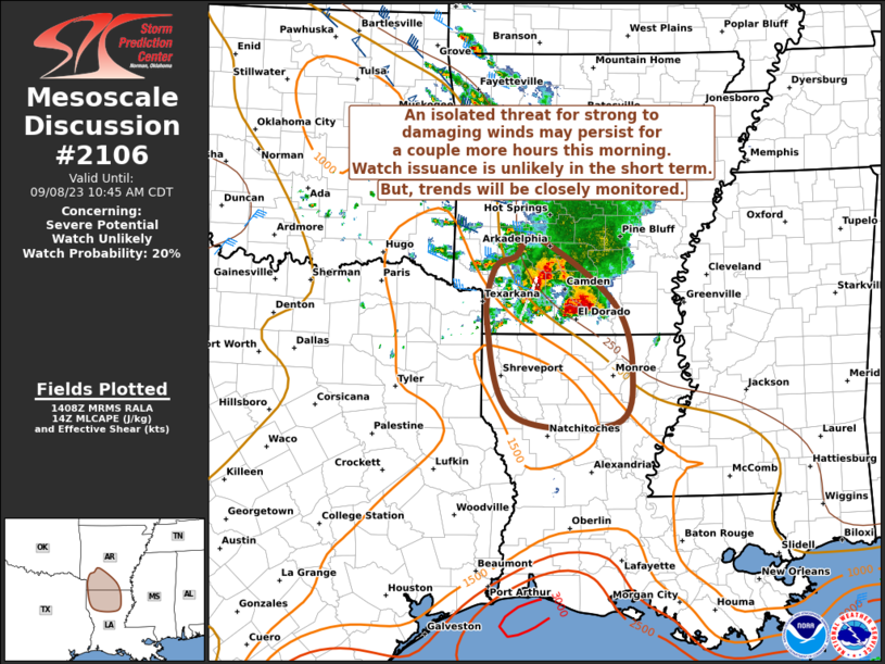
MD 2106 CONCERNING SEVERE POTENTIAL…WATCH UNLIKELY FOR EASTERN TEXAS AND OKLAHOMA PANHANDLES INTO WESTERN OKLAHOMA

Mesoscale Discussion 2106
NWS Storm Prediction Center Norman OK
0239 PM CDT Sat Sep 20 2025
Areas affected...Eastern Texas and Oklahoma Panhandles into western
Oklahoma
Concerning...Severe potential...Watch unlikely
Valid 201939Z - 202215Z
Probability of Watch Issuance...5 percent
SUMMARY...Scattered strong storms capable of marginally severe hail
or wind gusts are expected to form by 21-22Z, beginning over the
eastern Panhandles, and perhaps developing over southwest Oklahoma
as well.
DISCUSSION...Surface analysis shows a stationary front over the
eastern OK Panhandle and extending eastward just south of the KS
border. This boundary arcs southeastward across eastern OK and into
central AR as a modifying outflow boundary. Temperatures continue to
rise into the upper 80s to lower 90s F over much of central/western
OK and northwest TX including the Panhandles, as dewpoints mix into
the upper 50s/lower 60s F.
Visible satellite imagery shows increasing cumulus fields along the
front over the eastern OK Panhandle, and extending southwestward
across parts of the central and southern TX Panhandle. Modest MLCAPE
values over 1000 J/kg have developed, with forecast soundings
depicting midlevel lapse rates on the order of 6.5 C/km.
Large-scale forcing is generally weak, and storms will rely on
heating/steep low-level lapse rates and surface convergence along
the boundaries. Scattered cells are likely to form after 20Z over
western areas, moving slowly east/southeast and producing marginal
hail and wind gusts. A cool pocket does exist over western OK, and
the associated effects of differential heating could yield
additional initiation there.
..Jewell/Smith.. 09/20/2025
...Please see www.spc.noaa.gov for graphic product...
ATTN...WFO...OUN...DDC...LUB...AMA...
LAT...LON   36329923 36029925 35589904 35239873 35129856 34599838
            34389854 34079927 34280051 34570114 34910153 35070170
            35560188 35950187 36330172 36800105 37120048 37190000
            37019946 36799924 36329923
MOST PROBABLE PEAK WIND GUST...UP TO 60 MPH
MOST PROBABLE PEAK HAIL SIZE...UP TO 1.25 IN
