
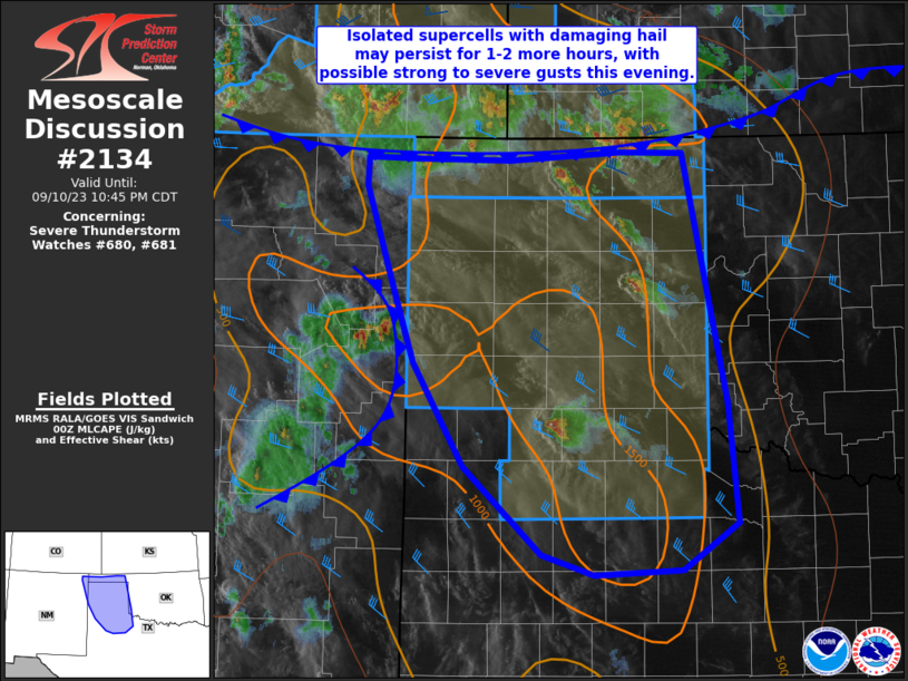
MD 2134 CONCERNING SEVERE THUNDERSTORM WATCH 621… FOR SOUTH-CENTRAL ARIZONA
Mesoscale Discussion 2134
NWS Storm Prediction Center Norman OK
0735 PM CDT Fri Sep 26 2025
Areas affected...South-central Arizona
Concerning...Severe Thunderstorm Watch 621...
Valid 270035Z - 270230Z
The severe weather threat for Severe Thunderstorm Watch 621
continues.
SUMMARY...Isolated strong to severe thunderstorms will remain
possible for the next couple of hours, but the overall severe threat
is beginning to wane across south-central Arizona.
DISCUSSION...Over the past 30-45 minutes, convection across
south-central AZ has undergone steady weakening per MRMS metrics and
cloud-top temperatures. The exception to this is a cluster across
portions of northeastern Pinal county where re-development along a
southward propagating outflow boundary continues to periodically
intensify to severe limits per MRMS MESH and KIWA velocity data. A
recent 00z sounding from TUS sampled modest mid-level lapse rates,
but adequate low/mid-level moisture to support around 1000 J/kg
MLCAPE when adjusted for warmer surface temperatures further north
near the ongoing cluster. Despite adequate buoyancy for deep
convection, surface observations show a spatially limited warm
sector remains in place, largely over portions of eastern Pinal and
far eastern Pima counties. With redevelopment along the outflow
boundary becoming increasingly sparse and several failed attempts at
deep convection noted along a weak surface trough over eastern Pima
county, strong/severe thunderstorm potential appears to be waning.
This trend should continue heading into the evening hours as
nocturnal cooling begins to increase inhibition. Nonetheless, some
localized severe hail/wind threat may linger across portions of
south-central AZ for the near term given residual buoyancy and
adequate deep-layer shear.
..Moore.. 09/27/2025
...Please see www.spc.noaa.gov for graphic product...
ATTN...WFO...TWC...FGZ...PSR...
LAT...LON   31981156 32181165 33091163 33341154 33531133 33641103
            33641067 33401043 33211035 32291038 32101052 32041072
            31911132 31901146 31981156
MOST PROBABLE PEAK WIND GUST...55-70 MPH
MOST PROBABLE PEAK HAIL SIZE...1.00-1.75 IN