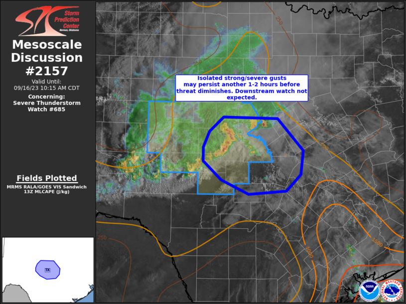
MD 2157 CONCERNING TORNADO WATCH 627… FOR LOWER MISSISSIPPI VALLEY

Mesoscale Discussion 2157
NWS Storm Prediction Center Norman OK
1127 PM CDT Sat Oct 18 2025
Areas affected...Lower Mississippi Valley
Concerning...Tornado Watch 627...
Valid 190427Z - 190630Z
The severe weather threat for Tornado Watch 627 continues.
SUMMARY...Severe threat continues to shift southeast.
DISCUSSION...Deep-layer flow is gradually veering across the lower
MS Valley as approaching upper trough advances into western AR-east
TX. Primary corridor of instability is located across LA into
southwestern MS where 1000-1500 J/kg MLCAPE persists. Air mass has
struggled to destabilize appreciably across eastern MS and latest
lightning data supports this with weakening updrafts across the TN
Valley into northeast MS. Given these trends, strongest convection
is expected to sag southeast across the remainder of ww627 over the
next several hours, aided in large part to the progressive
short-wave trough advancing into the central Gulf States. Wind
profiles remain supportive of supercells but the primary storm mode
will likely be larger convective clusters and line segments. Wind
damage should be the main severe risk but an isolated tornado or two
is also possible with more discrete supercell structures.
..Darrow.. 10/19/2025
...Please see www.spc.noaa.gov for graphic product...
ATTN...WFO...JAN...SHV...
LAT...LON   32109197 32909105 32948937 32288933 32099046 31509194
            32109197
MOST PROBABLE PEAK TORNADO INTENSITY...100-130 MPH
MOST PROBABLE PEAK WIND GUST...55-70 MPH
MOST PROBABLE PEAK HAIL SIZE...UP TO 1.25 IN
