
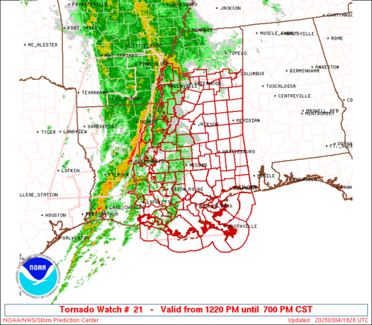
WW 21 TORNADO LA MS 120055Z – 120700Z
URGENT – IMMEDIATE BROADCAST REQUESTED
Tornado Watch Number 21
NWS Storm Prediction Center Norman OK
655 PM CST Sun Feb 11 2024
The NWS Storm Prediction Center has issued a
* Tornado Watch for portions of
East Central Louisiana
Central and Southern Mississippi
* Effective this Sunday night and Monday morning from 655 PM
until 100 AM CST.
* Primary threats include…
A few tornadoes likely with a couple intense tornadoes possible
Scattered large hail and isolated very large hail events to 2
inches in diameter likely
Scattered damaging wind gusts to 70 mph likely
SUMMARY…Scattered thunderstorms will continue to affect parts of
central/southern Mississippi and east-central Louisiana for several
more hours. Sufficient shear and instability will maintain some
risk of supercells capable of large hail, damaging winds, and
tornadoes.
The tornado watch area is approximately along and 45 statute miles
north and south of a line from 30 miles west southwest of Natchez MS
to 20 miles east of Meridian MS. For a complete depiction of the
watch see the associated watch outline update (WOUS64 KWNS WOU1).
PRECAUTIONARY/PREPAREDNESS ACTIONS…
REMEMBER…A Tornado Watch means conditions are favorable for
tornadoes and severe thunderstorms in and close to the watch
area. Persons in these areas should be on the lookout for
threatening weather conditions and listen for later statements
and possible warnings.
&&
OTHER WATCH INFORMATION…CONTINUE…WW 20…
AVIATION…Tornadoes and a few severe thunderstorms with hail
surface and aloft to 2 inches. Extreme turbulence and surface wind
gusts to 60 knots. A few cumulonimbi with maximum tops to 450. Mean
storm motion vector 25035.
…Hart