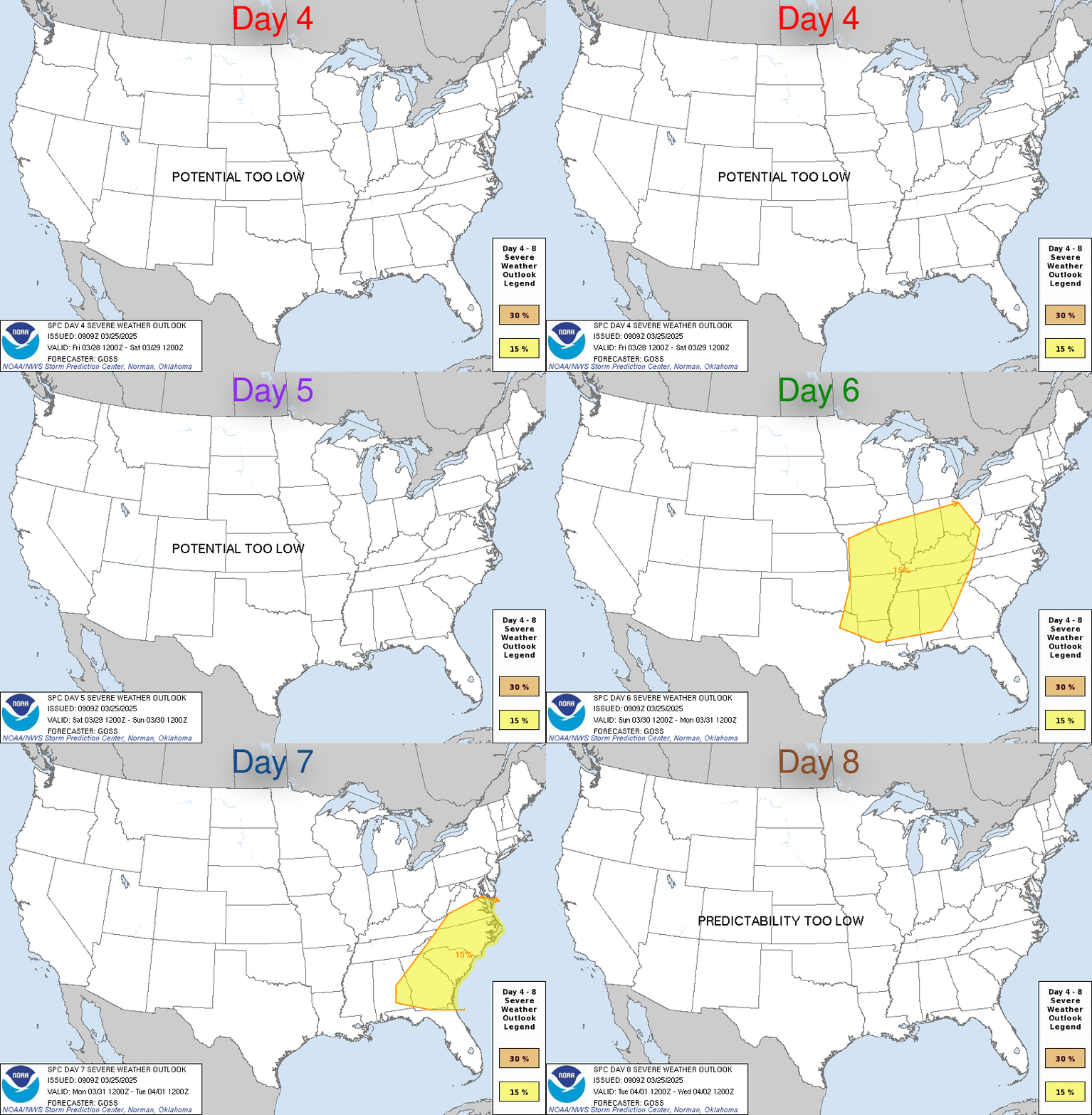
Day 4-8 Outlook Day 4-8 Convective Outlook NWS Storm Prediction Center Norman OK 0358 AM CST Sat Jan 31 2026 Valid 031200Z – 081200Z …DISCUSSION… Embedded within broad midlevel troughing over the eastern half of the CONUS, a shortwave trough will overspread the OH/TN Valleys and Southeast on Days 4-5/Tuesday-Wednesday. During that time, isolated to …
Continue reading SPC Jan 31, 2026 Day 4-8 Severe Weather Outlook
Category:Weather
SPC Jan 31, 2026 0830 UTC Day 3 Severe Thunderstorm Outlook
SPC 0830Z Day 3 Outlook Day 3 Convective Outlook NWS Storm Prediction Center Norman OK 0204 AM CST Sat Jan 31 2026 Valid 021200Z – 031200Z …NO THUNDERSTORM AREAS FORECAST… …SUMMARY… Thunderstorms are not expected across the U.S. on Monday or Monday night. …Discussion… A midlevel shortwave trough will advance eastward across the southern Plains …
Continue reading SPC Jan 31, 2026 0830 UTC Day 3 Severe Thunderstorm Outlook
SPC Jan 31, 2026 0700 UTC Day 2 Convective Outlook
SPC 0700Z Day 2 Outlook Day 2 Convective Outlook NWS Storm Prediction Center Norman OK 1247 AM CST Sat Jan 31 2026 Valid 011200Z – 021200Z …NO THUNDERSTORM AREAS FORECAST… …SUMMARY… Thunderstorms are not forecast across the U.S. on Sunday or Sunday night. …Discussion… Along the northwestern periphery of an upper ridge centered on the …
Continue reading SPC Jan 31, 2026 0700 UTC Day 2 Convective Outlook
SPC Day 2 Fire Weather Outlook
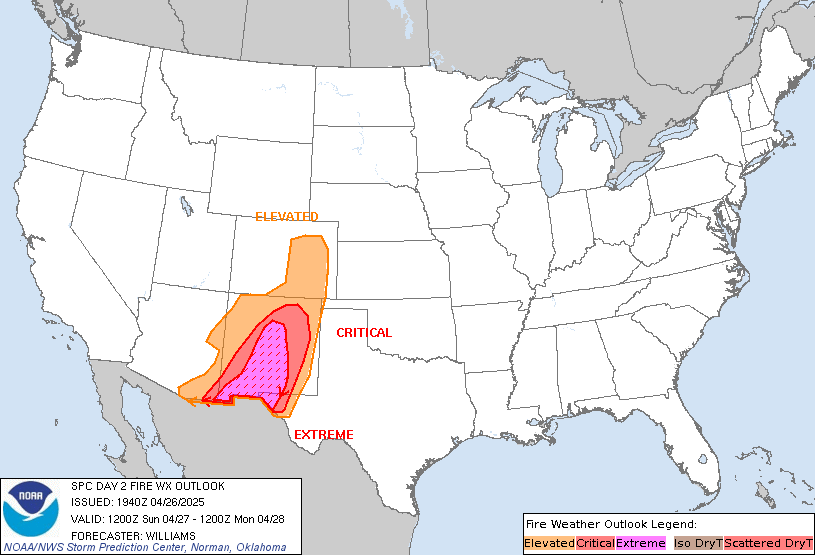
SPC Day 2 Fire Weather Outlook Day 2 Fire Weather Outlook NWS Storm Prediction Center Norman OK 1140 PM CST Fri Jan 30 2026 Valid 011200Z – 021200Z …NO CRITICAL AREAS… …Synopsis… The potent upper-level trough on the East Coast and associated surface cyclone offshore will lift northeastward with time on Sunday. Surface high pressure …
Continue reading SPC Day 2 Fire Weather Outlook
SPC Day 1 Fire Weather Outlook
SPC Day 1 Fire Weather Outlook Day 1 Fire Weather Outlook NWS Storm Prediction Center Norman OK 1139 PM CST Fri Jan 30 2026 Valid 311200Z – 011200Z …NO CRITICAL AREAS… …Synopsis… A deepening surface low off the Mid-Atlantic coast will drive 15-20 mph surface winds down the Florida Peninsula today. It is possible that …
Continue reading SPC Day 1 Fire Weather Outlook
SPC Jan 31, 2026 0600 UTC Day 1 Convective Outlook
SPC 1200Z Day 1 Outlook Day 1 Convective Outlook NWS Storm Prediction Center Norman OK 1125 PM CST Fri Jan 30 2026 Valid 311200Z – 011200Z …NO THUNDERSTORM AREAS FORECAST… …SUMMARY… Thunderstorms are not forecast across the U.S. today through tonight. …Synopsis… Long-wave troughing will persist across the eastern CONUS as an embedded shortwave trough …
Continue reading SPC Jan 31, 2026 0600 UTC Day 1 Convective Outlook
SPC Jan 31, 2026 0100 UTC Day 1 Convective Outlook
SPC 0100Z Day 1 Outlook Day 1 Convective Outlook NWS Storm Prediction Center Norman OK 0639 PM CST Fri Jan 30 2026 Valid 310100Z – 311200Z …NO THUNDERSTORM AREAS FORECAST… …SUMMARY… Thunderstorms are not expected tonight. …Synopsis… Dry and stable conditions remain prevalent across the CONUS based on latest surface observations and recent 00z RAOBs, …
Continue reading SPC Jan 31, 2026 0100 UTC Day 1 Convective Outlook
SPC – No watches are valid as of Sat Jan 31 00:43:02 UTC 2026
No watches are valid as of Sat Jan 31 00:43:02 UTC 2026. Read More
SPC – No MDs are in effect as of Sat Jan 31 00:43:02 UTC 2026
No Mesoscale Discussions are in effect as of Sat Jan 31 00:43:02 UTC 2026. Read More
SPC Day 3-8 Fire Weather Outlook
SPC Day 3-8 Fire Weather Outlook Day 3-8 Fire Weather Outlook NWS Storm Prediction Center Norman OK 0342 PM CST Fri Jan 30 2026 Valid 011200Z – 071200Z …Synopsis… Large scale troughing is expected to predominate the eastern U.S. through much of next week. Multiple mid-level short wave features, related surface cold fronts and precipitation …
Continue reading SPC Day 3-8 Fire Weather Outlook


