

MD 0054 CONCERNING HEAVY SNOW FOR PENNSYLVANIA…NEW JERSEY…NORTHERN WEST VIRGINIA…NORTHERN VIRGINIA…NORTHERN DELAWARE…NEW JERSEY…FAR SOUTHEAST NEW YORK Mesoscale Discussion 0054 NWS Storm Prediction Center Norman OK 0501 AM CST Sun Jan 25 2026 Areas affected…Pennsylvania…New Jersey…Northern West Virginia…Northern Virginia…Northern Delaware…New Jersey…Far Southeast New York Concerning…Heavy snow Valid 251101Z – 251700Z SUMMARY…Heavy snowfall, with rates of around …
Continue reading SPC MD 54
Category:Weather
SPC MD 53

MD 0053 CONCERNING WINTER MIXED PRECIPITATION FOR FAR NORTHERN MS…WESTERN/MIDDLE TN…SOUTHWEST KY Mesoscale Discussion 0053 NWS Storm Prediction Center Norman OK 0123 AM CST Sun Jan 25 2026 Areas affected…Far Northern MS…Western/Middle TN…Southwest KY Concerning…Winter mixed precipitation Valid 250723Z – 251130Z SUMMARY…Mixed winter precipitation is expected to continue for at least the next several hours …
Continue reading SPC MD 53
SPC MD 52

MD 0052 CONCERNING WINTER MIXED PRECIPITATION FOR NORTHERN SOUTH CAROLINA…CENTRAL AND NORTHERN NORTH CAROLINA…SOUTHERN VIRGINIA Mesoscale Discussion 0052 NWS Storm Prediction Center Norman OK 0120 AM CST Sun Jan 25 2026 Areas affected…Northern South Carolina…Central and Northern North Carolina…Southern Virginia Concerning…Winter mixed precipitation Valid 250720Z – 251315Z SUMMARY…Areas of freezing rain are expected through Sunday …
Continue reading SPC MD 52
SPC MD 51

MD 0051 CONCERNING HEAVY SNOW FOR SOUTHERN ILLINOIS INTO SOUTHERN INDIANA AND SOUTHWEST OHIO Mesoscale Discussion 0051 NWS Storm Prediction Center Norman OK 1100 PM CST Sat Jan 24 2026 Areas affected…Southern Illinois into southern Indiana and southwest Ohio Concerning…Heavy snow Valid 250500Z – 251100Z SUMMARY…Heavy snow band development is anticipated through the next several …
Continue reading SPC MD 51
SPC MD 50

MD 0050 CONCERNING FREEZING RAIN FOR PORTIONS OF SOUTH-CENTRAL/EASTERN TEXAS INTO WESTERN LOUISIANA Mesoscale Discussion 0050 NWS Storm Prediction Center Norman OK 1052 PM CST Sat Jan 24 2026 Areas affected…portions of south-central/eastern Texas into western Louisiana Concerning…Freezing rain Valid 250452Z – 250845Z SUMMARY…Mix of freezing rain and sleet likely overnight into early Sunday. DISCUSSION…Freezing …
Continue reading SPC MD 50
SPC MD 49

MD 0049 CONCERNING WINTER MIXED PRECIPITATION FOR NORTHERN LOUISIANA INTO EASTERN ARKANSAS…NORTHWEST MISSISSIPPI…AND FAR WESTERN TENNESSEE Mesoscale Discussion 0049 NWS Storm Prediction Center Norman OK 0746 PM CST Sat Jan 24 2026 Areas affected…Northern Louisiana into eastern Arkansas…northwest Mississippi…and far western Tennessee Concerning…Winter mixed precipitation Valid 250146Z – 250645Z SUMMARY…Another round of freezing rain and …
Continue reading SPC MD 49
SPC MD 48
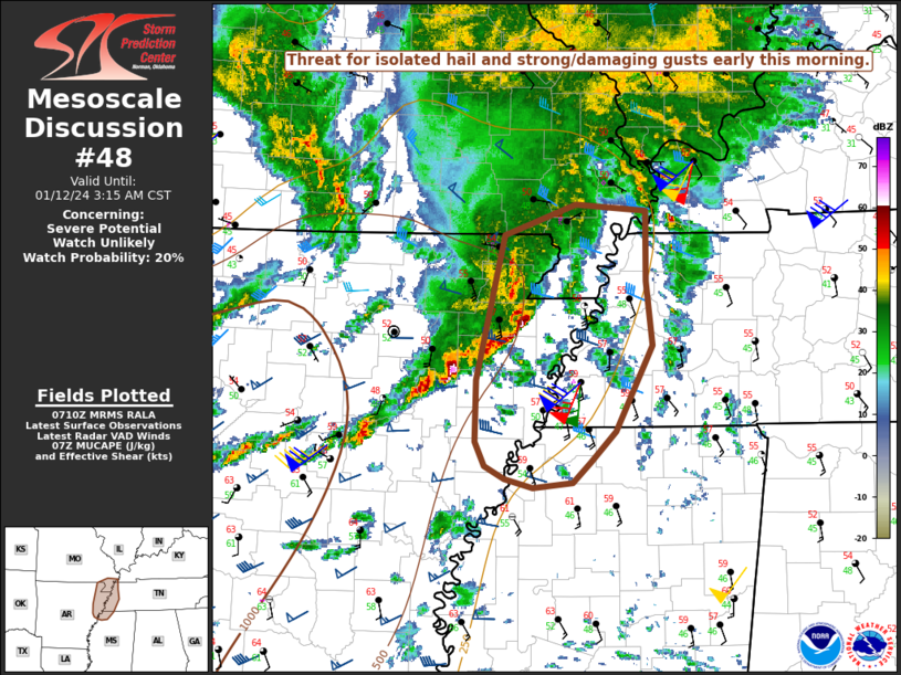
MD 0048 CONCERNING WINTER MIXED PRECIPITATION FOR NORTH-CENTRAL TEXAS…SOUTHEASTERN OKLAHOMA…WESTERN ARKANSAS Mesoscale Discussion 0048 NWS Storm Prediction Center Norman OK 0709 PM CST Sat Jan 24 2026 Areas affected…north-central Texas…southeastern Oklahoma…western Arkansas Concerning…Winter mixed precipitation Valid 250109Z – 250515Z SUMMARY…Mix of freezing rain and sleet to continue through the evening. DISCUSSION…Surface observations have reported periods …
Continue reading SPC MD 48
SPC MD 47

MD 0047 CONCERNING WINTER MIXED PRECIPITATION FOR PORTIONS OF THE SOUTHERN APPALACHIANS Mesoscale Discussion 0047 NWS Storm Prediction Center Norman OK 0545 PM CST Sat Jan 24 2026 Areas affected…Portions of the southern Appalachians Concerning…Winter mixed precipitation Valid 242345Z – 250445Z SUMMARY…A wintry mix of sleet and freezing rain is expected to slowly spread north …
Continue reading SPC MD 47
SPC MD 46

MD 0046 CONCERNING WINTER MIXED PRECIPITATION FOR SOUTHEAST NEW MEXICO INTO WEST TEXAS AND FAR SOUTHWEST OKLAHOMA Mesoscale Discussion 0046 NWS Storm Prediction Center Norman OK 0317 PM CST Sat Jan 24 2026 Areas affected…Southeast New Mexico into West Texas and far southwest Oklahoma Concerning…Winter mixed precipitation Valid 242117Z – 250115Z SUMMARY…An increase in precipitation …
Continue reading SPC MD 46
SPC MD 45

MD 0045 CONCERNING FREEZING RAIN FOR NORTHERN MS TO THE SOUTHERN APPALACHIANS Mesoscale Discussion 0045 NWS Storm Prediction Center Norman OK 1217 PM CST Sat Jan 24 2026 Areas affected…northern MS to the southern Appalachians Concerning…Freezing rain Valid 241817Z – 242345Z SUMMARY…Freezing rain mixed with sleet is expected to expand across parts of the Tennessee …
Continue reading SPC MD 45