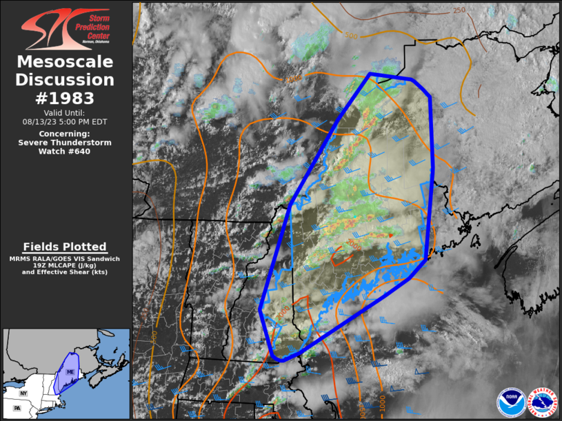
MD 1983 CONCERNING SEVERE THUNDERSTORM WATCH 645… FOR WESTERN MONTANA Mesoscale Discussion 1983 NWS Storm Prediction Center Norman OK 0604 PM CDT Fri Aug 23 2024 Areas affected…Western Montana Concerning…Severe Thunderstorm Watch 645… Valid 232304Z – 240100Z The severe weather threat for Severe Thunderstorm Watch 645 continues. SUMMARY…Severe wind gust potential continues with convection this …
Continue reading SPC MD 1983
Category:Weather
SPC MD 1982
MD 1982 CONCERNING SEVERE POTENTIAL…WATCH UNLIKELY FOR PORTIONS OF NORTHEAST COLORADO…FAR SOUTHEAST WYOMING…AND WESTERN NEBRASKA Mesoscale Discussion 1982 NWS Storm Prediction Center Norman OK 0553 PM CDT Fri Aug 23 2024 Areas affected…Portions of northeast Colorado…far southeast Wyoming…and western Nebraska Concerning…Severe potential…Watch unlikely Valid 232253Z – 240030Z Probability of Watch Issuance…20 percent SUMMARY…Storms may consolidate …
Continue reading SPC MD 1982
SPC MD 1981
MD 1981 CONCERNING SEVERE POTENTIAL…WATCH UNLIKELY FOR EASTERN MONTANA Mesoscale Discussion 1981 NWS Storm Prediction Center Norman OK 0539 PM CDT Fri Aug 23 2024 Areas affected…Eastern Montana Concerning…Severe potential…Watch unlikely Valid 232239Z – 240045Z Probability of Watch Issuance…20 percent SUMMARY…Isolated threat for wind/hail will be noted with convection this evening. Watch is not currently …
Continue reading SPC MD 1981
SPC MD 1980
MD 1980 CONCERNING SEVERE POTENTIAL…WATCH UNLIKELY FOR WESTERN KANSAS…FAR EASTERN COLORADO…THE OK/TX PANHANDLES AND NORTHWEST OKLAHOMA Mesoscale Discussion 1980 NWS Storm Prediction Center Norman OK 0515 PM CDT Fri Aug 23 2024 Areas affected…Western Kansas…far Eastern Colorado…the OK/TX Panhandles and Northwest Oklahoma Concerning…Severe potential…Watch unlikely Valid 232215Z – 232345Z Probability of Watch Issuance…5 percent SUMMARY…A …
Continue reading SPC MD 1980
SPC MD 1979
MD 1979 CONCERNING SEVERE POTENTIAL…WATCH UNLIKELY FOR PORTIONS OF SOUTHERN/EASTERN UTAH INTO FAR WESTERN COLORADO Mesoscale Discussion 1979 NWS Storm Prediction Center Norman OK 0353 PM CDT Fri Aug 23 2024 Areas affected…Portions of southern/eastern Utah into far western Colorado Concerning…Severe potential…Watch unlikely Valid 232053Z – 232300Z Probability of Watch Issuance…20 percent SUMMARY…Scattered storms, some …
Continue reading SPC MD 1979
SPC MD 1978
MD 1978 CONCERNING SEVERE POTENTIAL…WATCH POSSIBLE FOR PORTIONS OF WESTERN AND CENTRAL MONTANA Mesoscale Discussion 1978 NWS Storm Prediction Center Norman OK 0313 PM CDT Fri Aug 23 2024 Areas affected…portions of western and central Montana Concerning…Severe potential…Watch possible Valid 232013Z – 232215Z Probability of Watch Issuance…60 percent SUMMARY…Thunderstorms will increase in coverage and intensity …
Continue reading SPC MD 1978
SPC MD 1977
MD 1977 CONCERNING SEVERE POTENTIAL…WATCH UNLIKELY FOR SOUTHEASTERN ARIZONA AND FAR SOUTHWESTERN NEW MEXICO Mesoscale Discussion 1977 NWS Storm Prediction Center Norman OK 0222 PM CDT Fri Aug 23 2024 Areas affected…Southeastern Arizona and far southwestern New Mexico Concerning…Severe potential…Watch unlikely Valid 231922Z – 232115Z Probability of Watch Issuance…5 percent SUMMARY…Severe wind gusts and isolated …
Continue reading SPC MD 1977
SPC MD 1976
MD 1976 CONCERNING SEVERE POTENTIAL…WATCH UNLIKELY FOR PORTIONS OF CENTRAL/EASTERN ID…NORTHWEST WY…AND SOUTHWEST MT Mesoscale Discussion 1976 NWS Storm Prediction Center Norman OK 0131 PM CDT Fri Aug 23 2024 Areas affected…portions of central/eastern ID…northwest WY…and southwest MT Concerning…Severe potential…Watch unlikely Valid 231831Z – 232030Z Probability of Watch Issuance…20 percent SUMMARY…Isolated strong to severe thunderstorms …
Continue reading SPC MD 1976
SPC Severe Thunderstorm Watch 644 Status Reports
WW 0644 Status Updates STATUS REPORT ON WW 644 SEVERE WEATHER THREAT CONTINUES RIGHT OF A LINE FROM 45 S GLD TO 25 E GLD TO 50 SSW MCK. ..SPC..08/23/24 ATTN…WFO…GLD…BOU… STATUS REPORT FOR WS 644 SEVERE WEATHER THREAT CONTINUES FOR THE FOLLOWING AREAS KSC071-109-193-203-230440- KS . KANSAS COUNTIES INCLUDED ARE GREELEY LOGAN THOMAS WICHITA …
Continue reading SPC Severe Thunderstorm Watch 644 Status Reports
SPC MD 1975
MD 1975 CONCERNING SEVERE THUNDERSTORM WATCH 644… FOR CENTRAL HIGH PLAINS Mesoscale Discussion 1975 NWS Storm Prediction Center Norman OK 0844 PM CDT Thu Aug 22 2024 Areas affected…Central High Plains Concerning…Severe Thunderstorm Watch 644… Valid 230144Z – 230345Z The severe weather threat for Severe Thunderstorm Watch 644 continues. SUMMARY…Wind/hail threat will spread across eastern …
Continue reading SPC MD 1975


