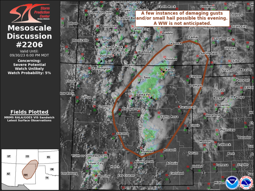
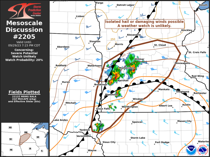
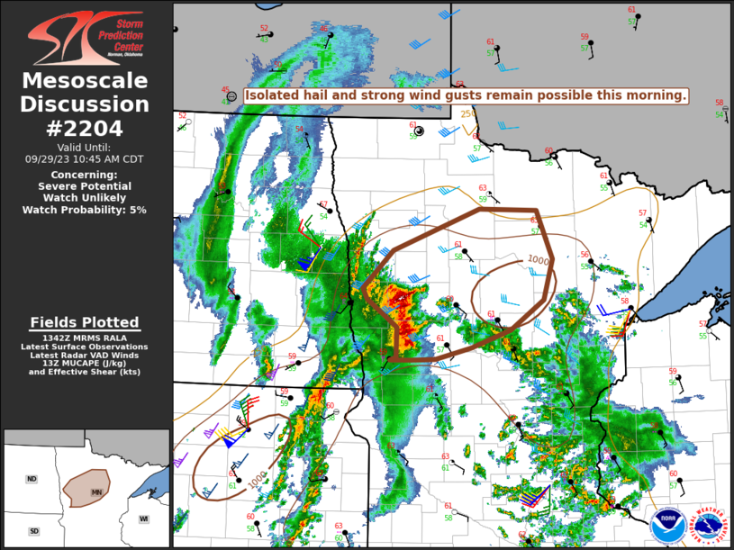
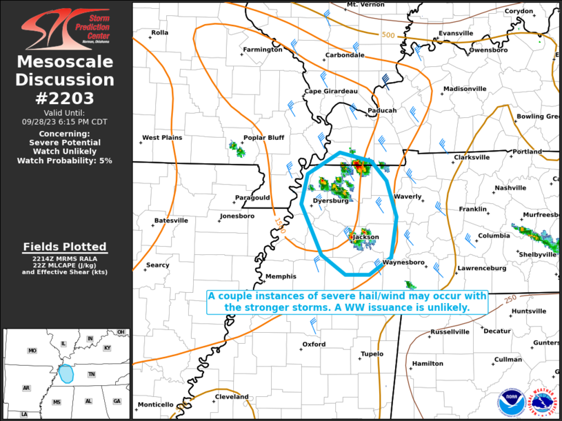
MD 2206 CONCERNING SEVERE POTENTIAL…WATCH UNLIKELY FOR EASTERN MISSOURI INTO FAR WESTERN ILLINOIS Mesoscale Discussion 2206 NWS Storm Prediction Center Norman OK 0518 PM CST Mon Nov 17 2025 Areas affected…Eastern Missouri into far western Illinois Concerning…Severe potential…Watch unlikely Valid 172318Z – 180115Z Probability of Watch Issuance…5 percent SUMMARY…A cluster of thunderstorms will likely increase …
Continue reading SPC MD 2206
Category:Weather
SPC MD 2205
MD 2205 CONCERNING SEVERE POTENTIAL…WATCH UNLIKELY FOR EASTERN OHIO…WESTERN PENNSYLVANIA…FAR WESTERN NEW YORK AND NORTHERN WEST VIRGINIA Mesoscale Discussion 2205 NWS Storm Prediction Center Norman OK 0514 PM CST Sat Nov 15 2025 Areas affected…eastern Ohio…western Pennsylvania…far western New York and northern West Virginia Concerning…Severe potential…Watch unlikely Valid 152314Z – 160145Z Probability of Watch Issuance…5 …
Continue reading SPC MD 2205
SPC MD 2204
MD 2204 CONCERNING HEAVY SNOW FOR NORTHEAST IL…NORTHWEST IN…AND WESTERN LOWER MI Mesoscale Discussion 2204 NWS Storm Prediction Center Norman OK 0847 AM CST Mon Nov 10 2025 Areas affected…northeast IL…northwest IN…and western Lower MI Concerning…Heavy snow Valid 101447Z – 101945Z SUMMARY…Brief periods of moderate to heavy lake effect snow may impact southeastern Lake Michigan …
Continue reading SPC MD 2204
SPC MD 2203
MD 2203 CONCERNING HEAVY SNOW FOR PORTIONS OF EXTREME SOUTHEAST WISCONSIN INTO FAR NORTHEASTERN ILLINOIS AND EXTREME NORTHWESTERN INDIANA Mesoscale Discussion 2203 NWS Storm Prediction Center Norman OK 0352 AM CST Mon Nov 10 2025 Areas affected…portions of extreme southeast Wisconsin into far northeastern Illinois and extreme northwestern Indiana Concerning…Heavy snow Valid 100952Z – 101245Z …
Continue reading SPC MD 2203
SPC MD 2202
MD 2202 CONCERNING HEAVY SNOW FOR NORTHWESTERN INDIANA AND NORTHEASTERN ILLINOIS Mesoscale Discussion 2202 NWS Storm Prediction Center Norman OK 0955 PM CST Sun Nov 09 2025 Areas affected…Northwestern Indiana and northeastern Illinois Concerning…Heavy snow Valid 100355Z – 100900Z SUMMARY…An intense lake effect snow band will drift slowly south-southwestward across northwestern Indiana and northeastern Illinois …
Continue reading SPC MD 2202
SPC MD 2201
MD 2201 CONCERNING SEVERE POTENTIAL…WATCH UNLIKELY FOR PORTIONS OF SOUTH GEORGIA AND NORTHERN FLORIDA Mesoscale Discussion 2201 NWS Storm Prediction Center Norman OK 0332 PM CST Sun Nov 09 2025 Areas affected…portions of south Georgia and northern Florida Concerning…Severe potential…Watch unlikely Valid 092132Z – 092300Z Probability of Watch Issuance…20 percent SUMMARY…Isolated severe gusts and some …
Continue reading SPC MD 2201
SPC MD 2200
MD 2200 CONCERNING SEVERE POTENTIAL…WATCH POSSIBLE FOR PORTIONS OF NORTHEAST GEORGIA…NORTHERN AND CENTRAL SOUTH CAROLINA INTO FAR SOUTHERN NORTH CAROLINA Mesoscale Discussion 2200 NWS Storm Prediction Center Norman OK 0211 PM CST Sat Nov 08 2025 Areas affected…portions of northeast Georgia…northern and central South Carolina into far southern North Carolina Concerning…Severe potential…Watch possible Valid 082011Z …
Continue reading SPC MD 2200
SPC MD 2199
MD 2199 CONCERNING TORNADO WATCH 635… FOR PARTS OF MIDDLE TN…SOUTH-CENTRAL KY…FAR NORTHERN AL Mesoscale Discussion 2199 NWS Storm Prediction Center Norman OK 0609 PM CST Fri Nov 07 2025 Areas affected…Parts of Middle TN…south-central KY…far northern AL Concerning…Tornado Watch 635… Valid 080009Z – 080215Z The severe weather threat for Tornado Watch 635 continues. SUMMARY…Scattered …
Continue reading SPC MD 2199
SPC Tornado Watch 635 Status Reports
WW 0635 Status Updates STATUS REPORT ON WW 635 SEVERE WEATHER THREAT CONTINUES RIGHT OF A LINE FROM 55 NNW MSL TO 10 ESE BNA TO 40 ESE BWG. ..SPC..11/08/25 ATTN…WFO…HUN…LMK…JKL…OHX…MRX… STATUS REPORT FOR WT 635 SEVERE WEATHER THREAT CONTINUES FOR THE FOLLOWING AREAS ALC071-077-083-089-080140- AL . ALABAMA COUNTIES INCLUDED ARE JACKSON LAUDERDALE LIMESTONE MADISON …
Continue reading SPC Tornado Watch 635 Status Reports
SPC Tornado Watch 635
WW 635 TORNADO AL KY TN 072125Z – 080400Z URGENT – IMMEDIATE BROADCAST REQUESTED Tornado Watch Number 635 NWS Storm Prediction Center Norman OK 325 PM CST Fri Nov 7 2025 The NWS Storm Prediction Center has issued a * Tornado Watch for portions of Northern Alabama South-Central Kentucky Middle into Eastern Tennessee * Effective …
Continue reading SPC Tornado Watch 635

