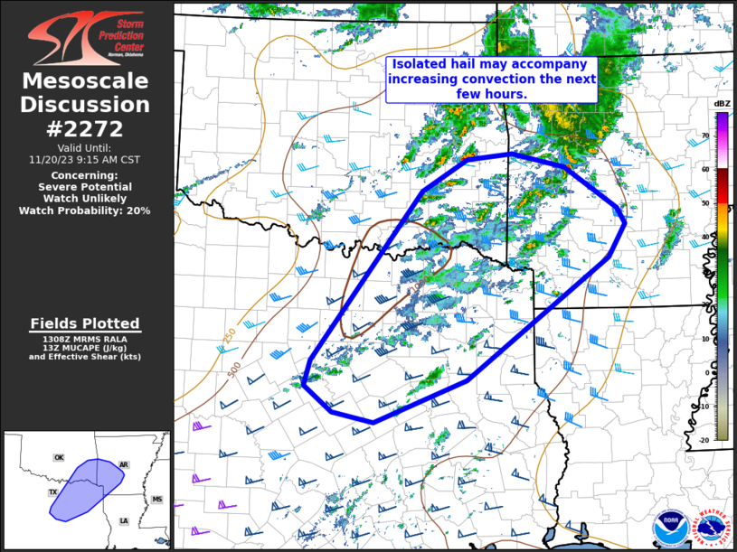
MD 2272 CONCERNING SEVERE POTENTIAL…WATCH UNLIKELY FOR NORTHERN/CENTRAL CALIFORNIA COAST Mesoscale Discussion 2272 NWS Storm Prediction Center Norman OK 0611 PM CST Thu Dec 25 2025 Areas affected…Northern/Central California Coast Concerning…Severe potential…Watch unlikely Valid 260011Z – 260215Z Probability of Watch Issuance…20 percent SUMMARY…Gusty winds are possible with convection this evening. DISCUSSION…Latest satellite imagery suggests a …
Continue reading SPC MD 2272
Category:Weather
SPC MD 2271
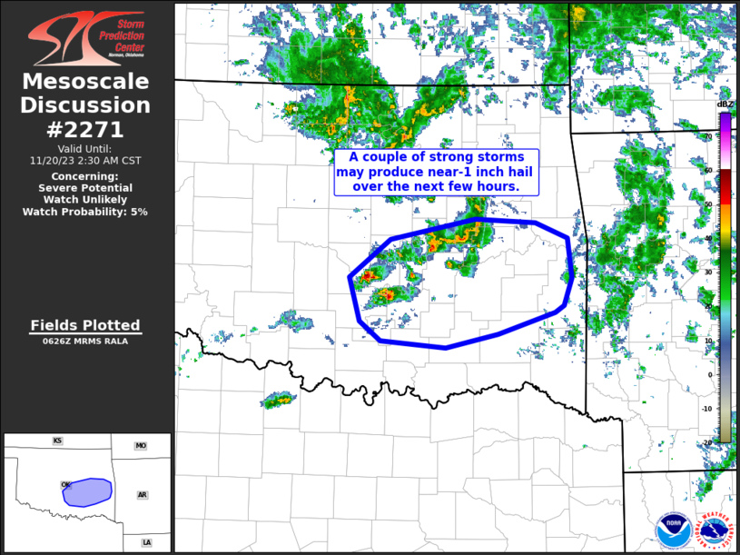
MD 2271 CONCERNING SEVERE POTENTIAL…WATCH UNLIKELY FOR SAN FRANCISCO BAY VICINITY Mesoscale Discussion 2271 NWS Storm Prediction Center Norman OK 0412 AM CST Thu Dec 25 2025 Areas affected…San Francisco Bay vicinity Concerning…Severe potential…Watch unlikely Valid 251012Z – 251115Z Probability of Watch Issuance…20 percent SUMMARY…The risk of damaging wind gusts will be focused over the …
Continue reading SPC MD 2271
SPC MD 2270
MD 2270 CONCERNING SEVERE POTENTIAL…WATCH UNLIKELY FOR PARTS OF THE NORTH COAST OF CALIFORNIA Mesoscale Discussion 2270 NWS Storm Prediction Center Norman OK 0146 AM CST Thu Dec 25 2025 Areas affected…Parts of the North Coast of California Concerning…Severe potential…Watch unlikely Valid 250746Z – 251015Z Probability of Watch Issuance…20 percent SUMMARY…The risk for damaging convective …
Continue reading SPC MD 2270
SPC MD 2269
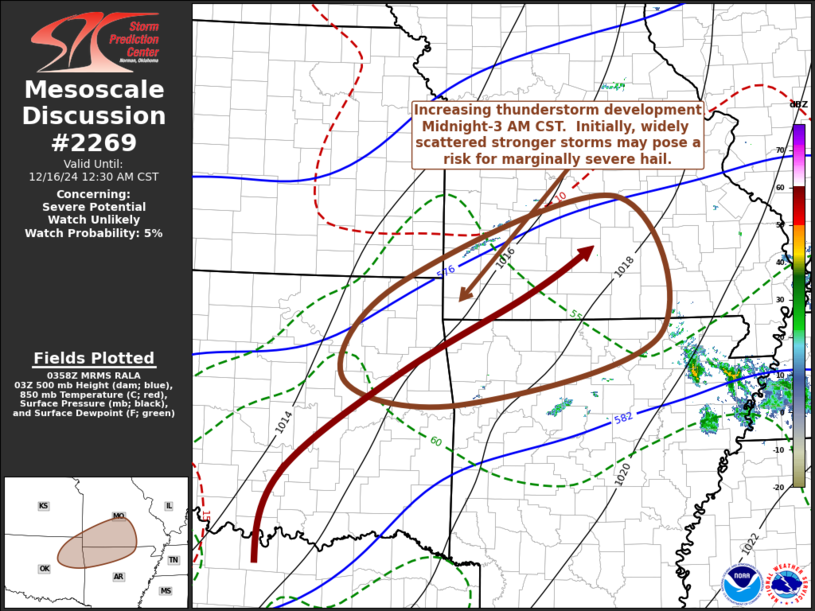
MD 2269 CONCERNING SEVERE POTENTIAL…WATCH UNLIKELY FOR PORTIONS OF THE SOUTHERN CALIFORNIA COAST Mesoscale Discussion 2269 NWS Storm Prediction Center Norman OK 0922 AM CST Wed Dec 24 2025 Areas affected…Portions of the southern California Coast Concerning…Severe potential…Watch unlikely Valid 241522Z – 241715Z Probability of Watch Issuance…5 percent SUMMARY…A brief tornado is possible along the …
Continue reading SPC MD 2269
SPC MD 2268
MD 2268 CONCERNING SEVERE POTENTIAL…WATCH UNLIKELY FOR CENTRAL/SOUTHERN CALIFORNIA COAST Mesoscale Discussion 2268 NWS Storm Prediction Center Norman OK 0711 AM CST Wed Dec 24 2025 Areas affected…Central/Southern California Coast Concerning…Severe potential…Watch unlikely Valid 241311Z – 241445Z Probability of Watch Issuance…5 percent SUMMARY…Localized risk for strong to severe gusts and perhaps a brief waterspout/tornado may …
Continue reading SPC MD 2268
SPC MD 2267
MD 2267 CONCERNING HEAVY SNOW FOR PARTS OF SOUTHERN MAINE Mesoscale Discussion 2267 NWS Storm Prediction Center Norman OK 0447 AM CST Wed Dec 24 2025 Areas affected…Parts of southern Maine Concerning…Heavy snow Valid 241047Z – 241445Z SUMMARY…Band of heavy snow with 1-1.5 in/hr rates to continue across parts of southern Maine through around 14Z. …
Continue reading SPC MD 2267
SPC MD 2266
MD 2266 CONCERNING SEVERE POTENTIAL…WATCH UNLIKELY FOR CENTRAL/NORTHERN CALIFORNIA COAST Mesoscale Discussion 2266 NWS Storm Prediction Center Norman OK 0405 AM CST Wed Dec 24 2025 Areas affected…Central/Northern California Coast Concerning…Severe potential…Watch unlikely Valid 241005Z – 241130Z Probability of Watch Issuance…5 percent SUMMARY…Convectively enhanced severe wind gusts may impact coastal areas from Monterey Bay to …
Continue reading SPC MD 2266
SPC MD 2265
MD 2265 CONCERNING WINTER MIXED PRECIPITATION FOR FAR NORTHEAST IOWA…SOUTHEAST MINNESOTA AND WESTERN WISCONSIN. Mesoscale Discussion 2265 NWS Storm Prediction Center Norman OK 0332 AM CST Mon Dec 22 2025 Areas affected…far northeast Iowa…southeast Minnesota and western Wisconsin. Concerning…Winter mixed precipitation Valid 220932Z – 221330Z SUMMARY…Wintry precipitation will continue this morning across the region. Amounts …
Continue reading SPC MD 2265
SPC MD 2264
MD 2264 CONCERNING TORNADO WATCH 642… FOR PARTS OF THE DEEP SOUTH Mesoscale Discussion 2264 NWS Storm Prediction Center Norman OK 0654 PM CST Thu Dec 18 2025 Areas affected…parts of the Deep South Concerning…Tornado Watch 642… Valid 190054Z – 190230Z The severe weather threat for Tornado Watch 642 continues. SUMMARY…Limited tornado and strong gust …
Continue reading SPC MD 2264
SPC Tornado Watch 642 Status Reports
WW 0642 Status Updates STATUS REPORT ON WW 642 SEVERE WEATHER THREAT CONTINUES RIGHT OF A LINE FROM 20 NW MEI TO 40 NNE CBM TO 25 NE MSL. FOR ADDITIONAL INFORMATION SEE MESOSCALE DISCUSSION 2264. ..GRAMS..12/19/25 ATTN…WFO…HUN…BMX…JAN…MEG… STATUS REPORT FOR WT 642 SEVERE WEATHER THREAT CONTINUES FOR THE FOLLOWING AREAS ALC033-043-057-059-063-075-077-079-083-089-093-103-107-119-125- 127-133-190240- AL . …
Continue reading SPC Tornado Watch 642 Status Reports

